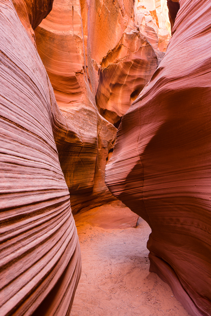
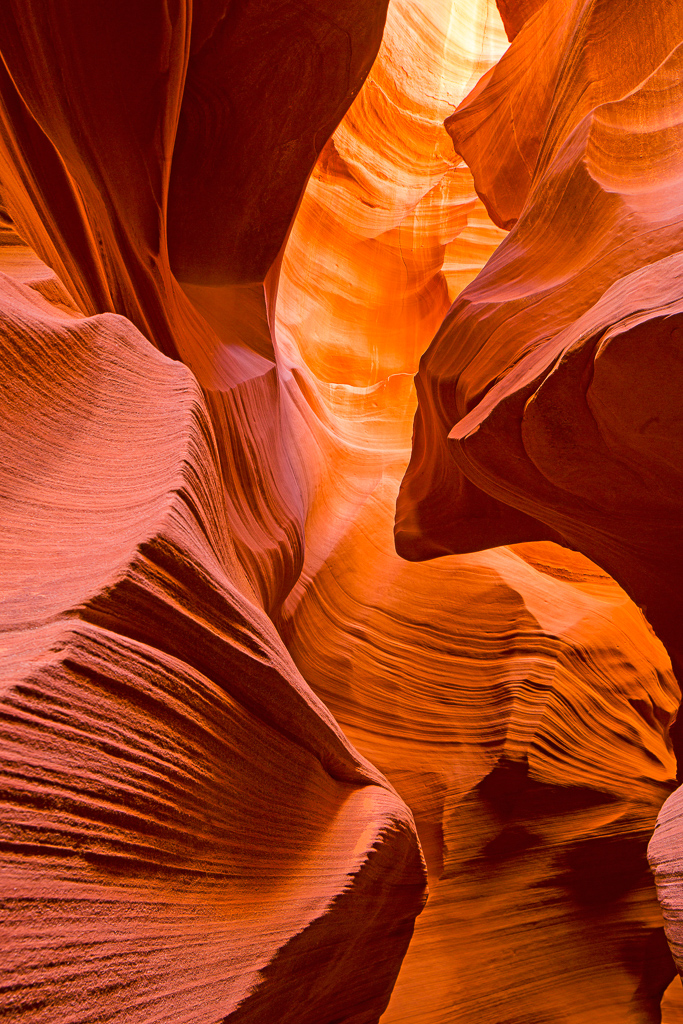
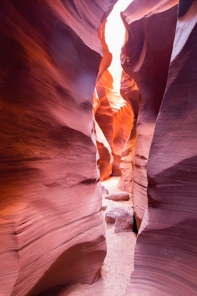
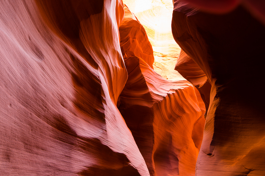
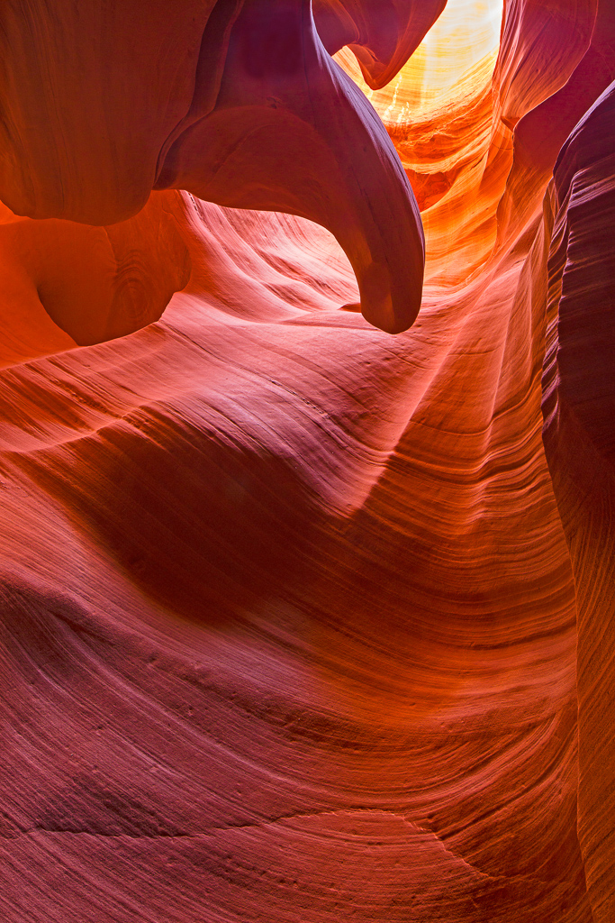
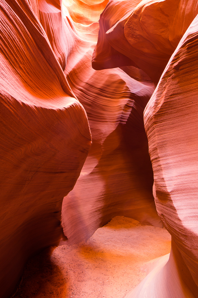
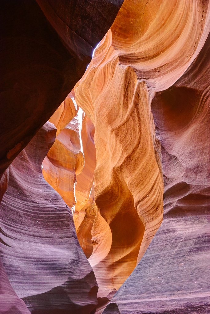
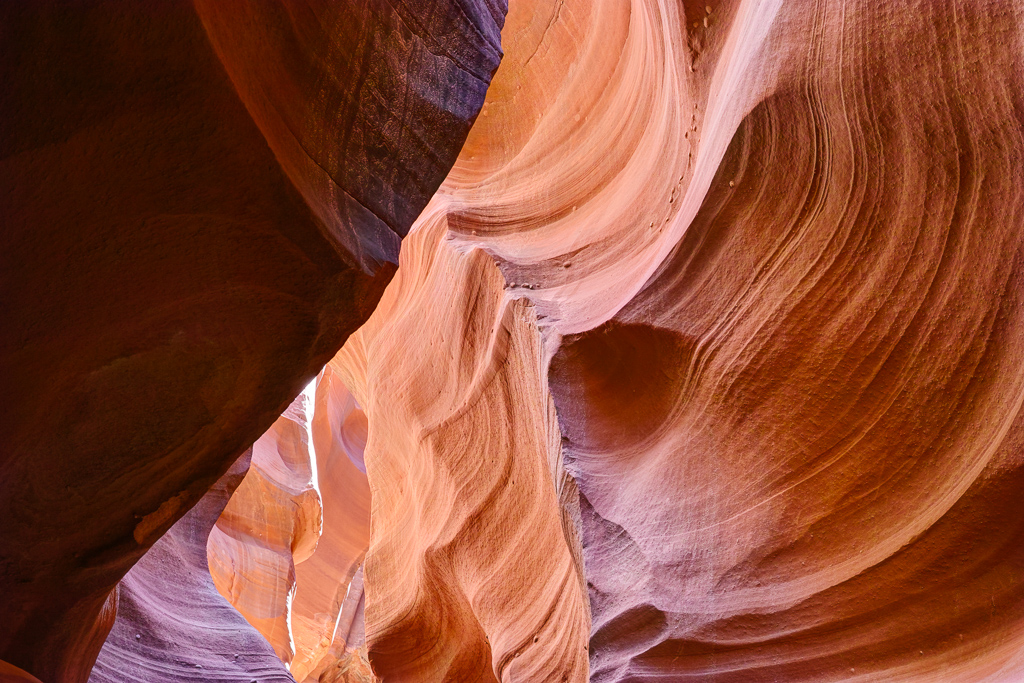
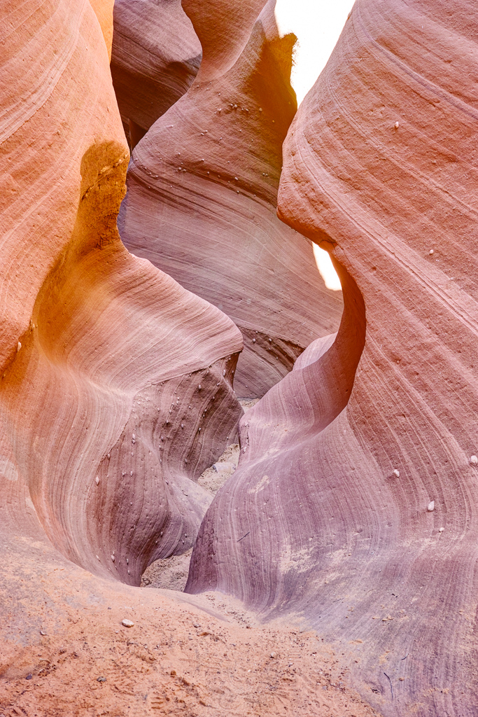
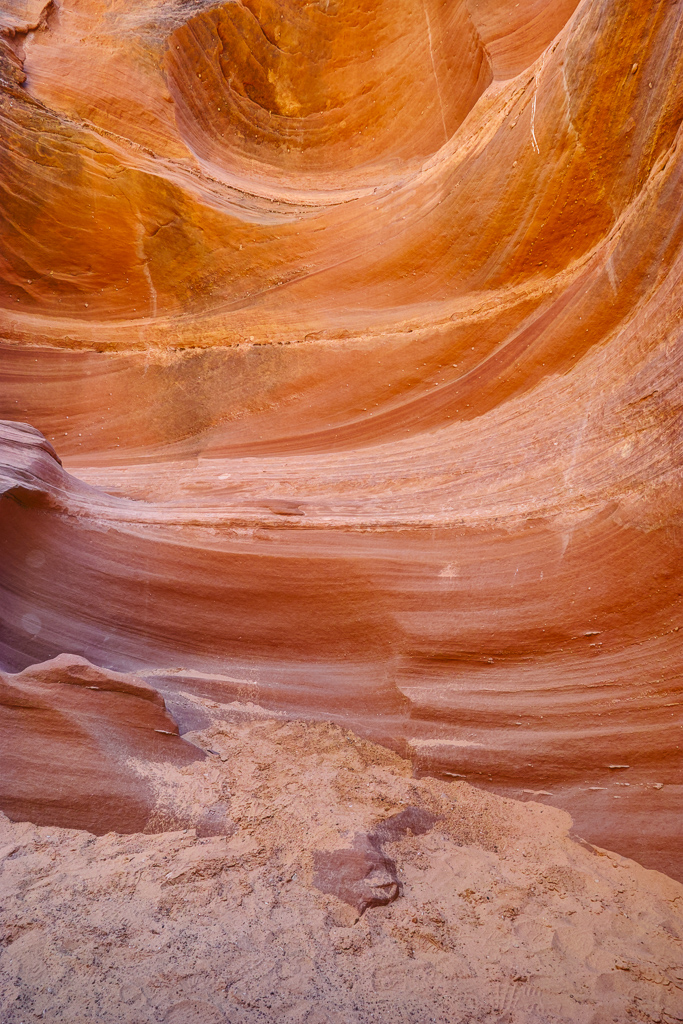
On a recent trip to southern Utah and northern Arizona, I stopped by Page, AZ. I avoided Antelope Canyon like the plague. The crowds there now are out of control. Plus, the Navajo Nation has banned tripods at Lower Antelope Canyon. As I drove by, I counted at least 100 cars in each parking lot on a Monday morning in April. Yikes! But all was not lost. I obtained a permit to hike the lower portion of Waterholes Canyon. This has far less people and has some exquisite rock formations to see.
The Hike to Waterholes
Hiking Waterholes Canyon is relatively easy. The canyon is accessed from a short hike in from the rim. The trail descends steeply into the canyon about 100 feet. The trail is well marked with stones and red paint at the entry point to the canyon. It is then about a mile and a quarter to the ladder up stream or about a quarter mile to the ladders down stream. Both sections have some nice slot canyons and the rock turns an orange color near midday. The canyon walls are beautifully curved and make some interesting photographic compositions. You can hike to the power poles but past that point you have to hire a guide. The upper section has ever more beautiful narrows. I didn’t go past either ladder but the bottom one has an old car wreck you have to negotiate around.
Horseshoe Bend
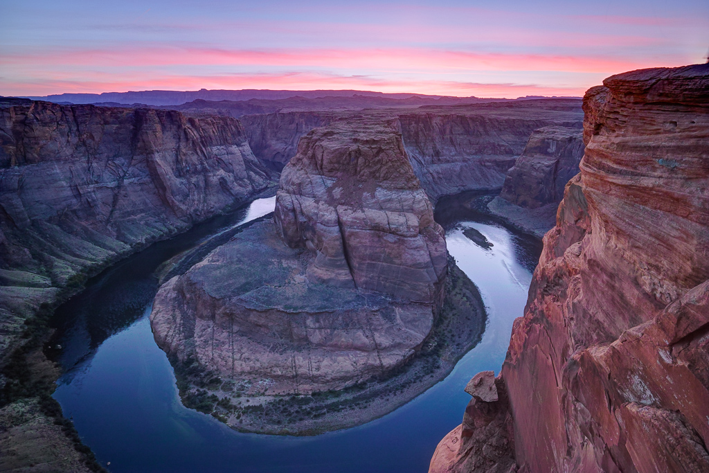
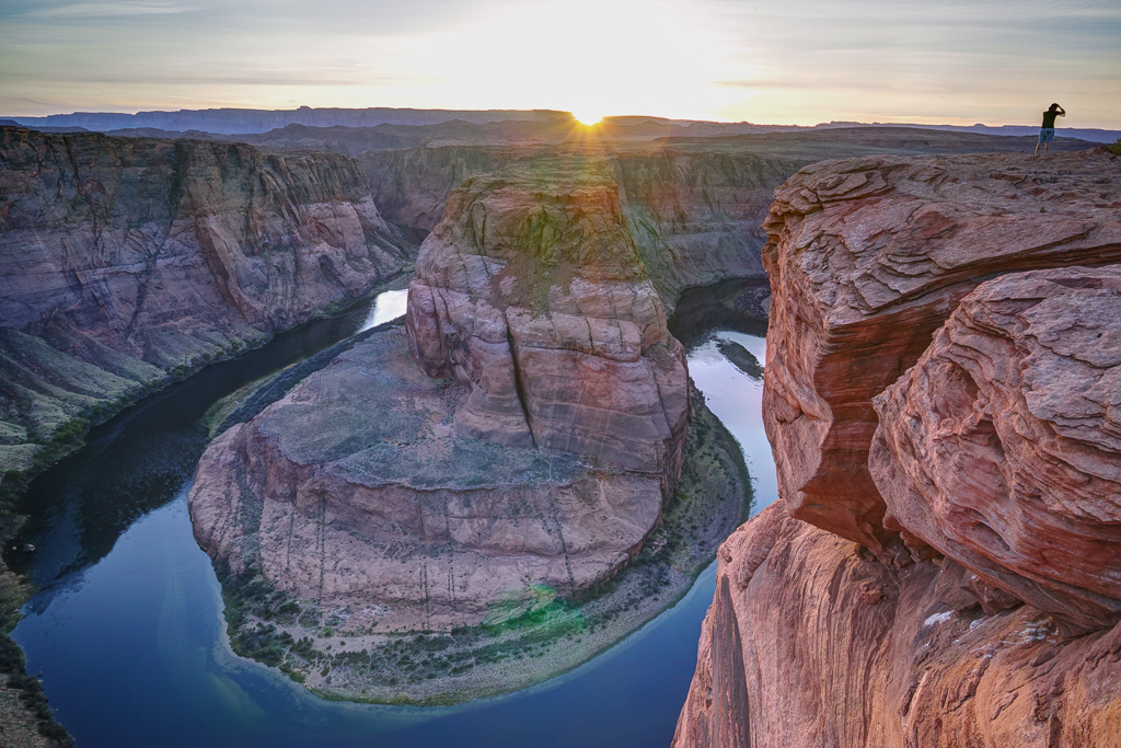
I also hiked down to Horseshoe Bend to watch the sunset since it is only a couple of miles north of Waterholes. I was amazed at the crowd. There must have been 200 people there. The parking lot is now three times the size of what it used to be. The hike is about a half mile down a steep sand dune until you reach the canyon rim. What a great place to watch the sunset, though.
Driving Directions
Waterholes Canyon is located about 5 miles south of Page on Highway 89 at mile marker 542. Park on the left side of the road and begin hiking into the canyon. Horseshoe Bend is located 2 miles north and parking is on the right hand side as you are heading south on 89. A permit for Waterholes can be obtained at the Navajo office in Lechee.
