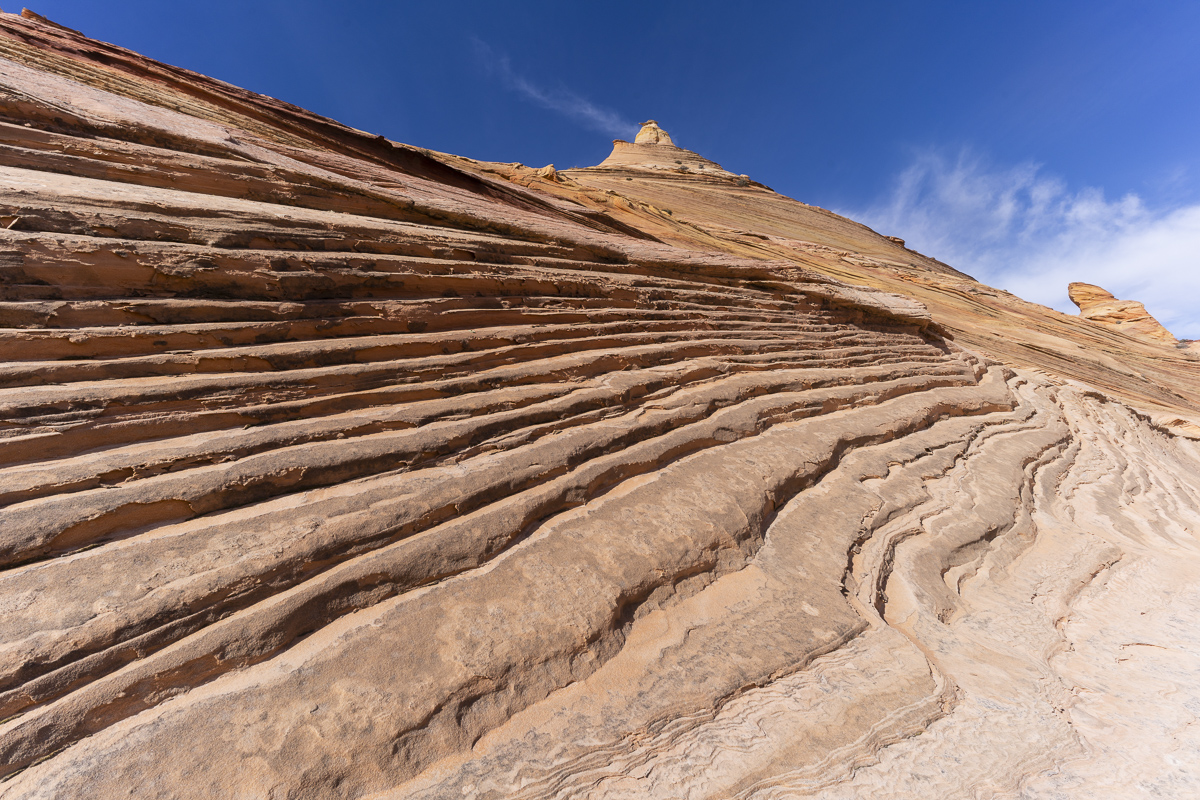
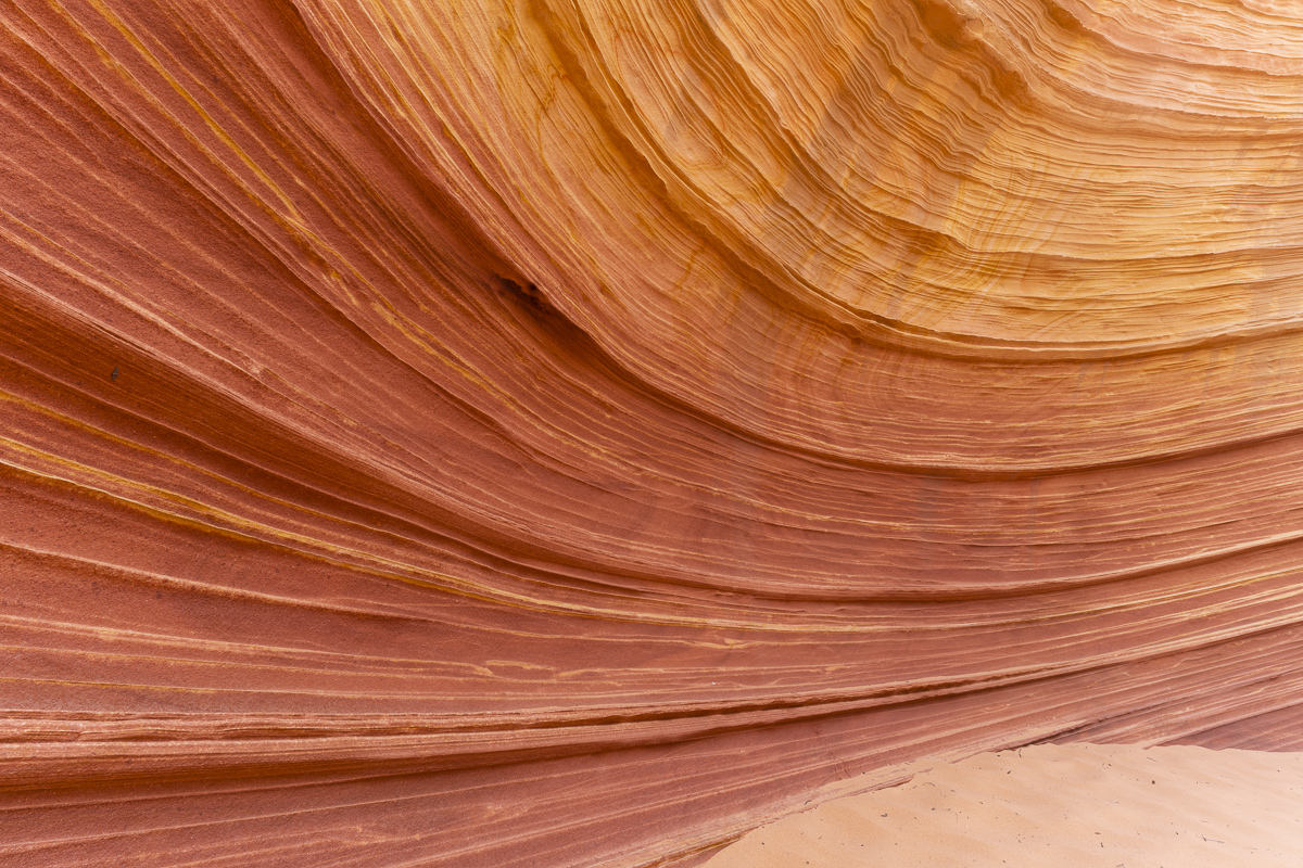
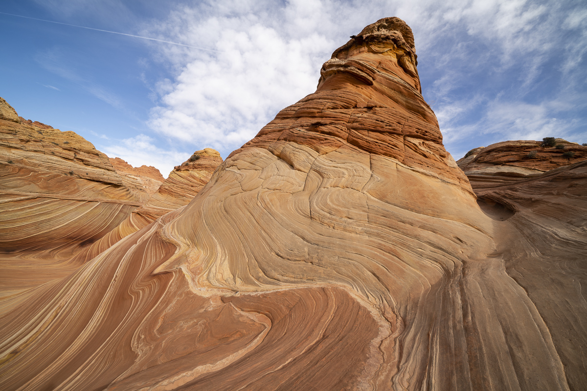
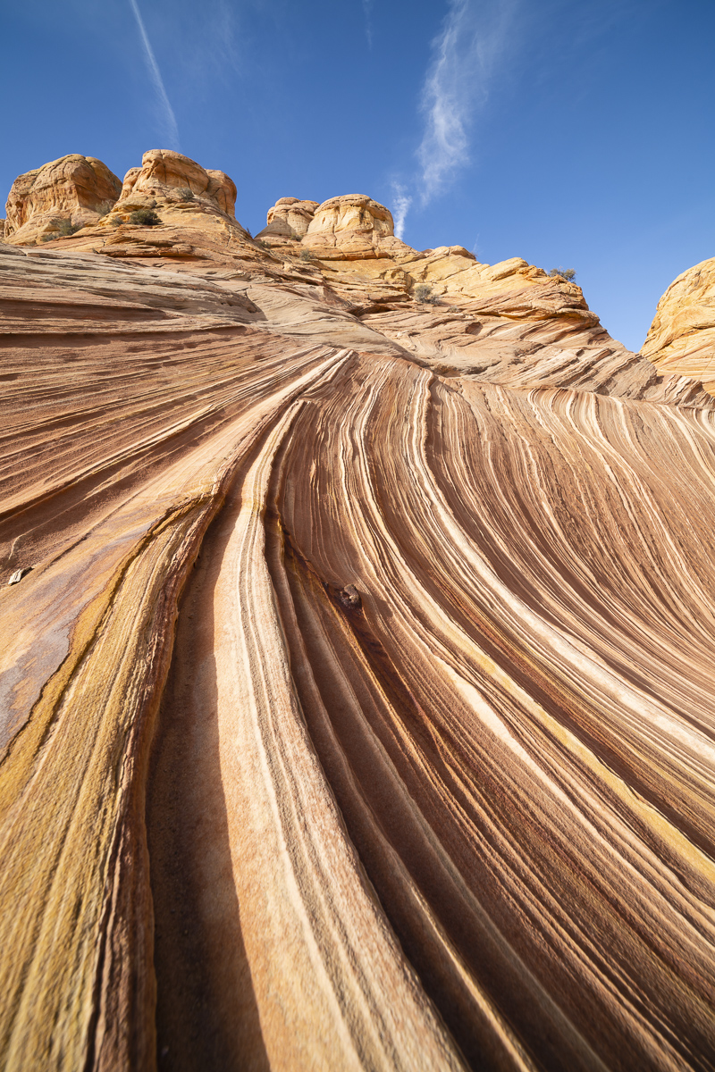
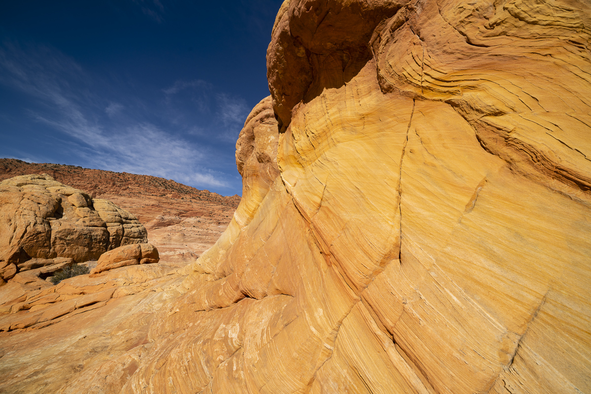
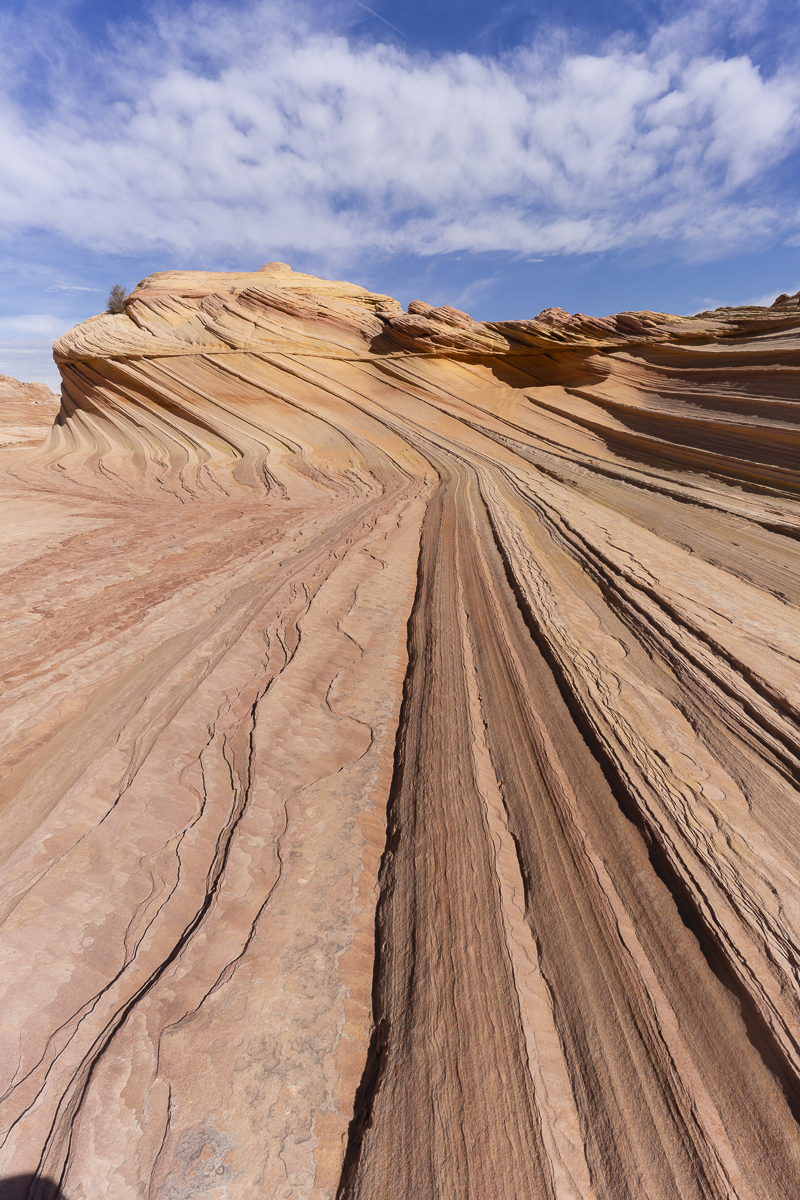
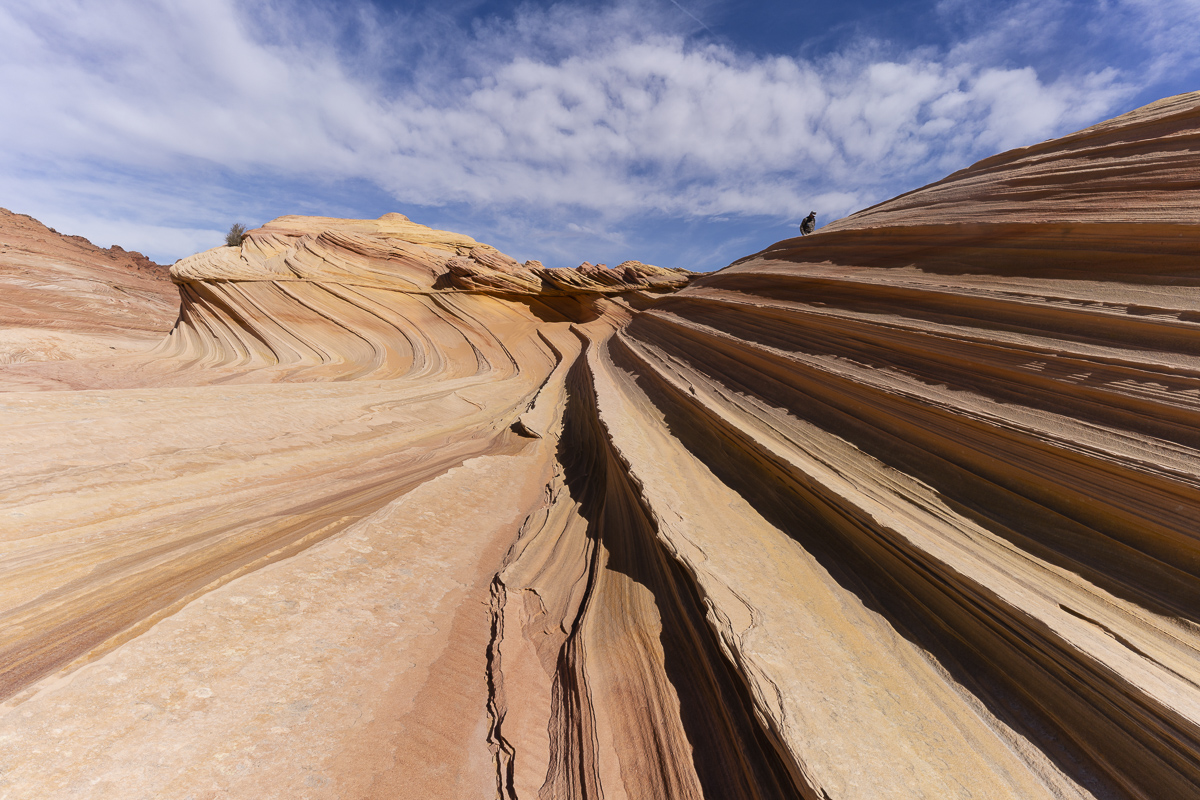
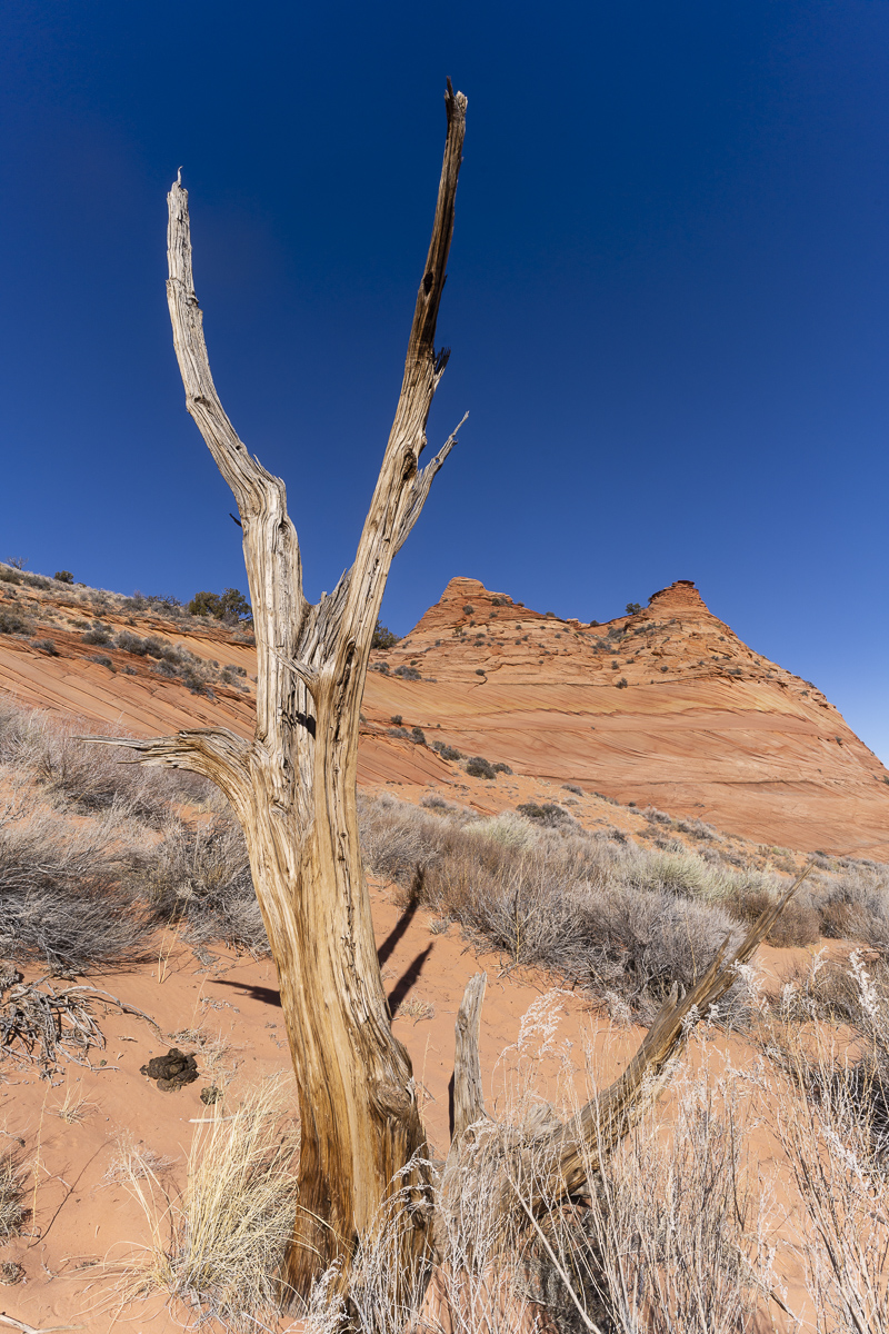
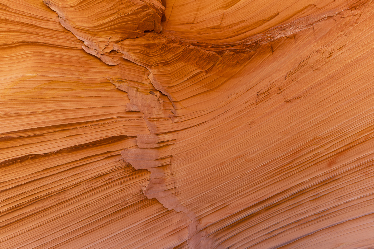
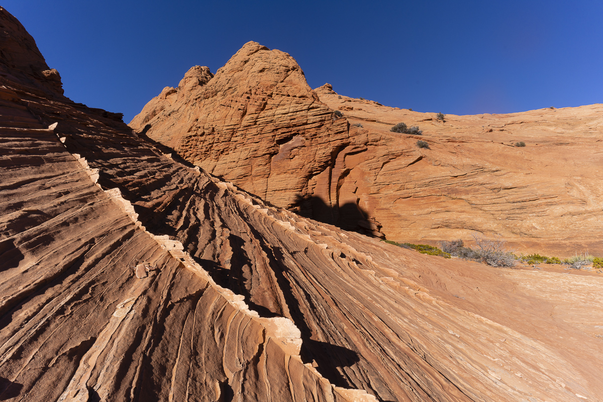
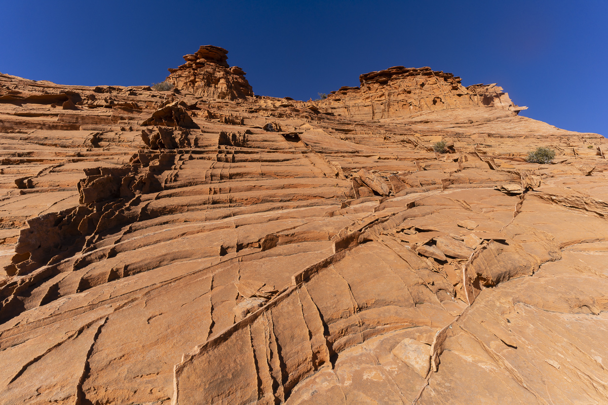
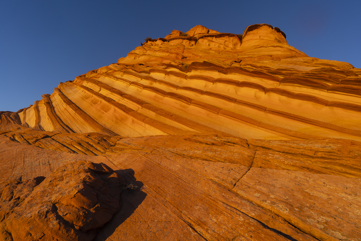
I love traveling to southern Utah in the winter. The light has a warmth that blends masterfully with the red rock landscape of of southern Utah. One of my favorite places to visit is the Coyote Buttes in the Paria-Vermillion Cliffs Wilderness. Located on the Arizona/Utah border, this area boasts some of the most interesting geology and landscapes the U.S. has to offer.
North Coyote Buttes and the Wave
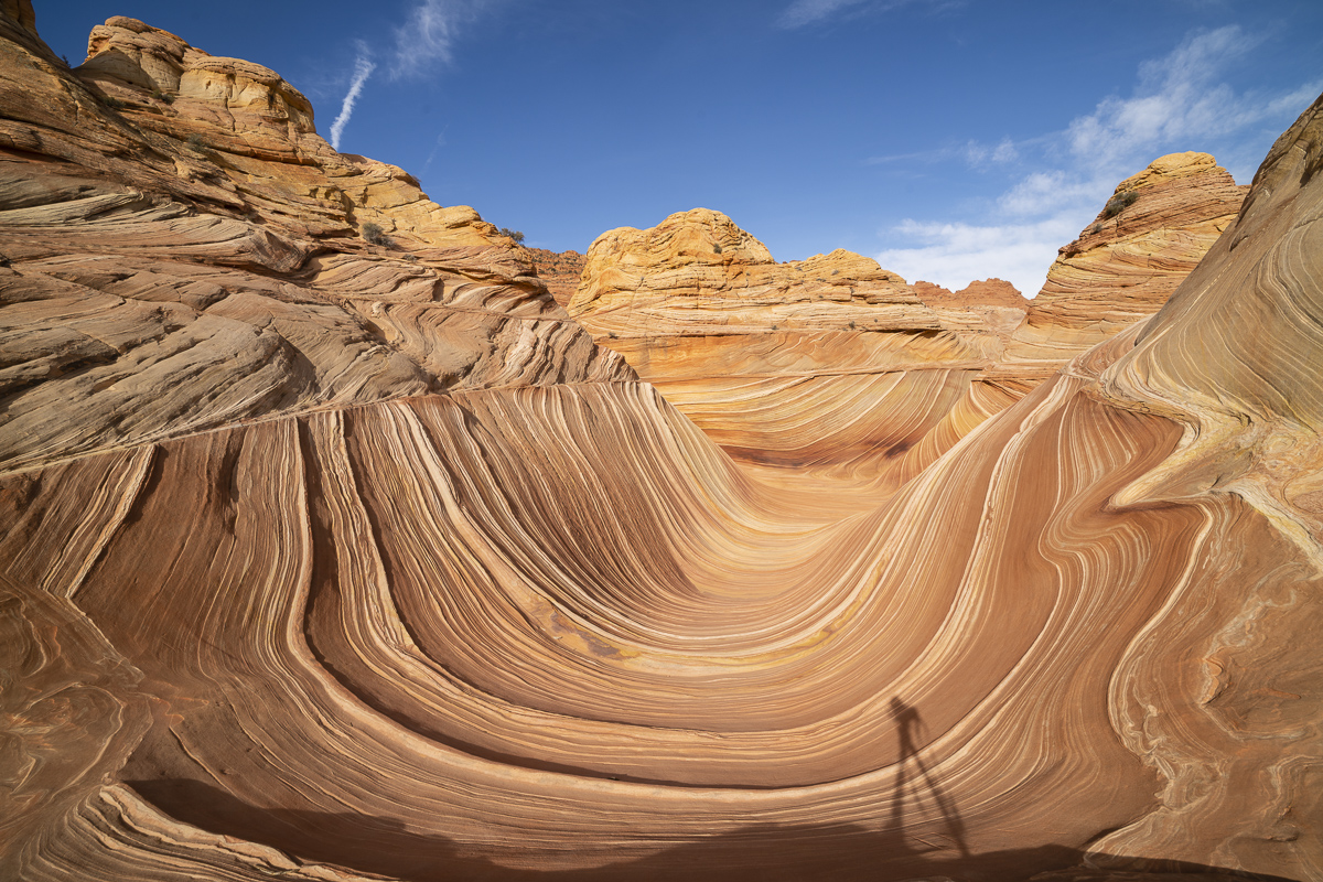
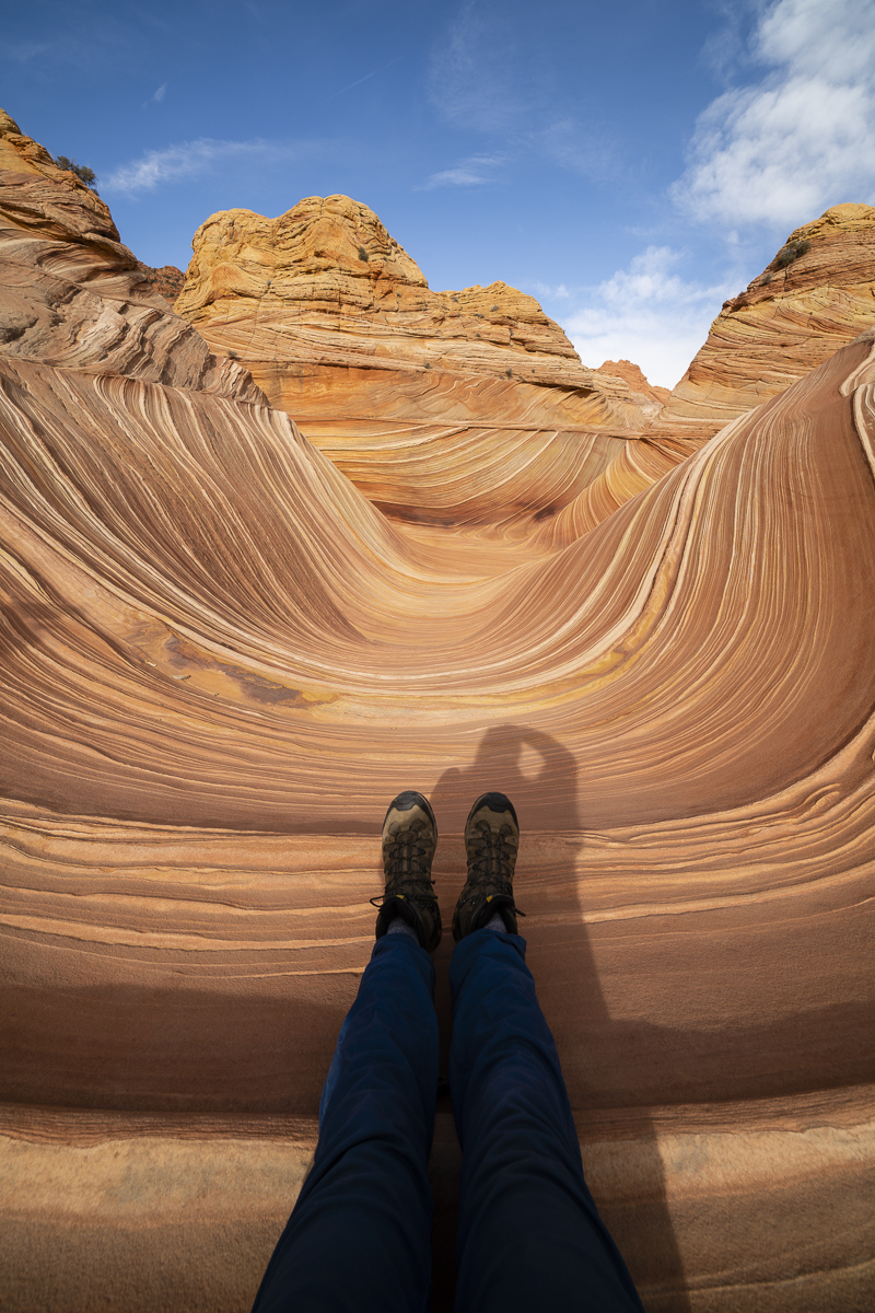
A trip to southern Utah wouldn’t be complete without trying to visit North Coyote Buttes and the famous Wave formation. The trick–the BLM has set up a permit system whereby only 20 per day (10 by advance on-line lottery and 10 by next-day in-person lottery) are permitted to hike in the area. The scene at the BLM office Kanab on Friday when I showed up was surreal–193 people were vying for 30 permits. Luckily, my number got drawn and I got to hike the area with my son. What a cool experience.
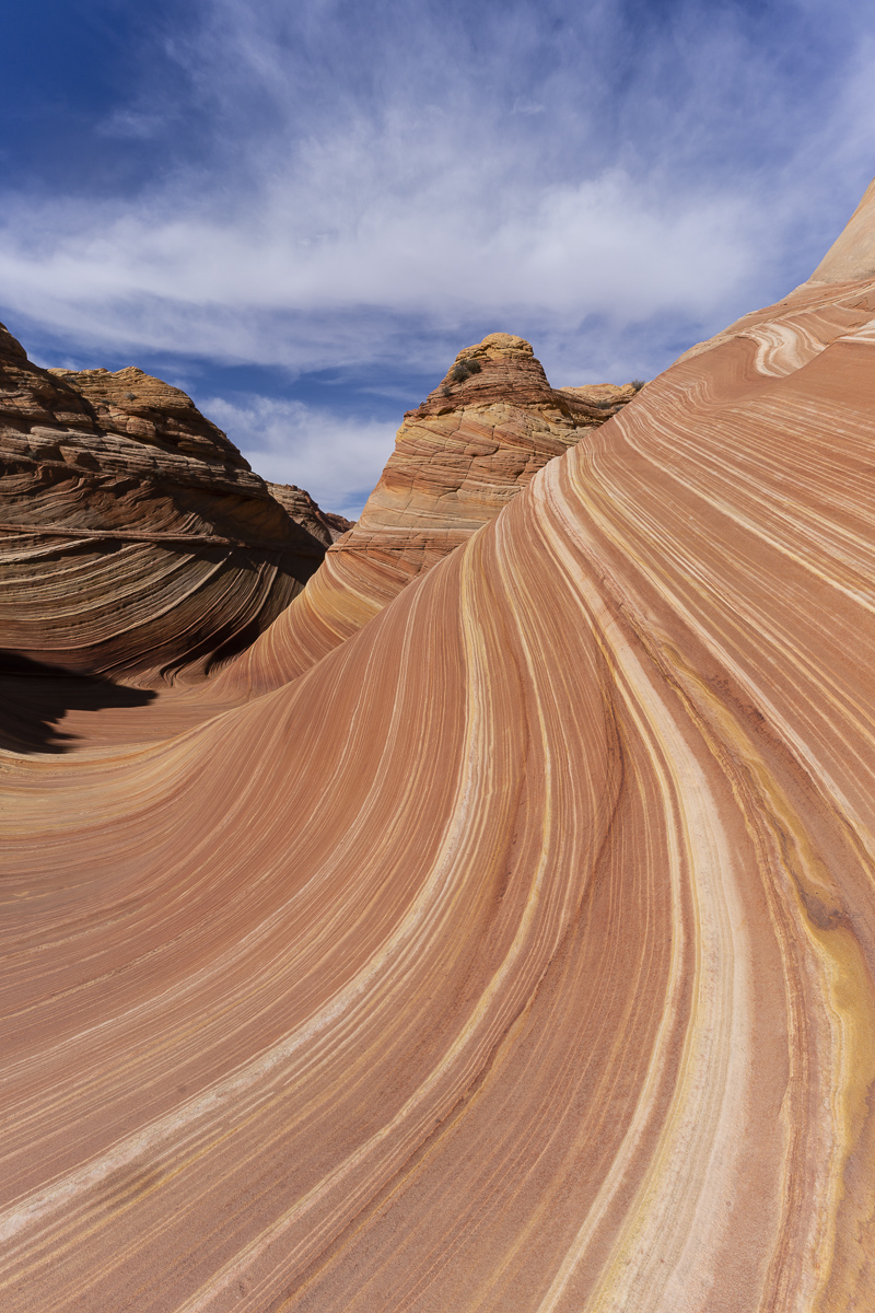
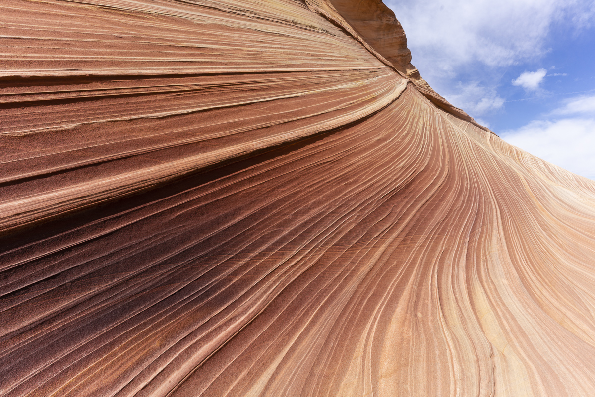
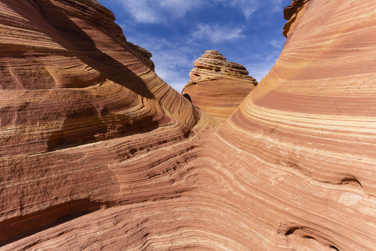
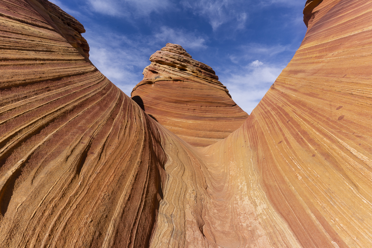
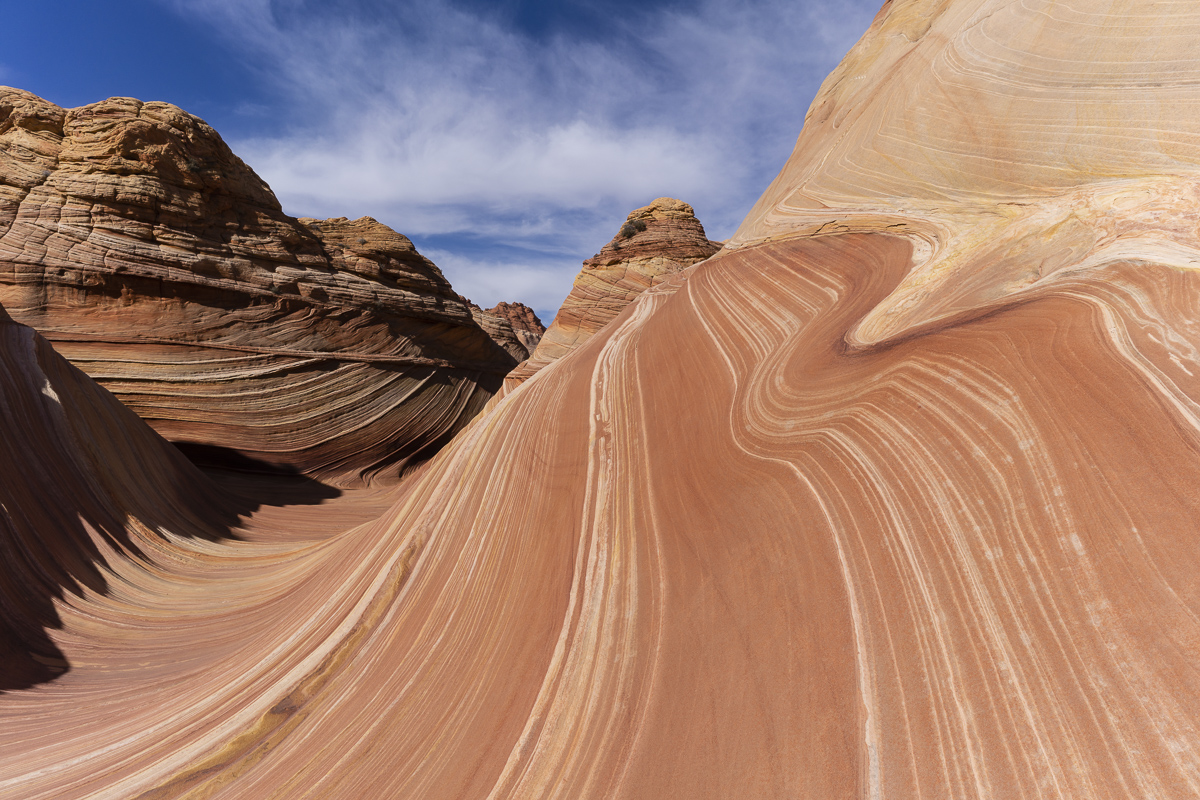
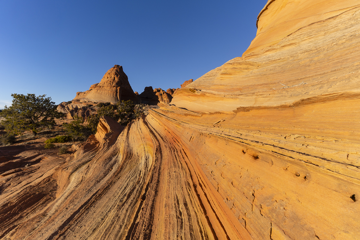
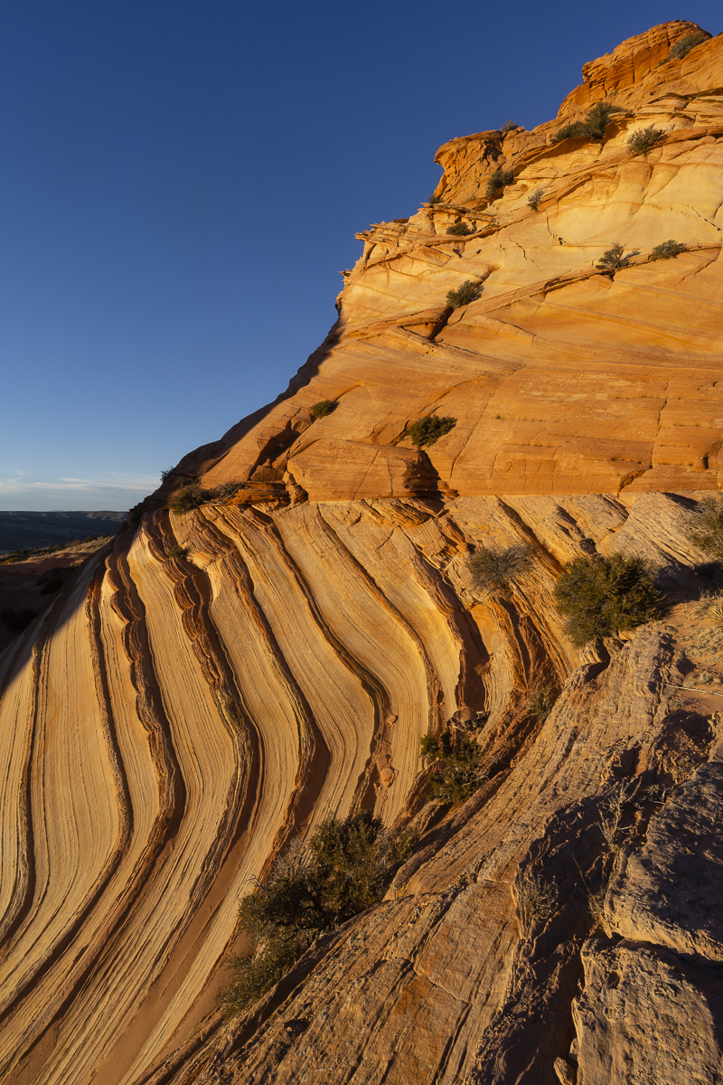
The Wave is the centerpiece of this small chunk of wilderness. It is a collection of sandstone swirled in almost inconceivable directions. The area also has many other things to explore including Top Rock above the Wave and the Boneyard across the canyon from it. Due to wind and weather, I only had the opportunity to explore the Wave this time around. But I still got my $7 worth.
The Hike
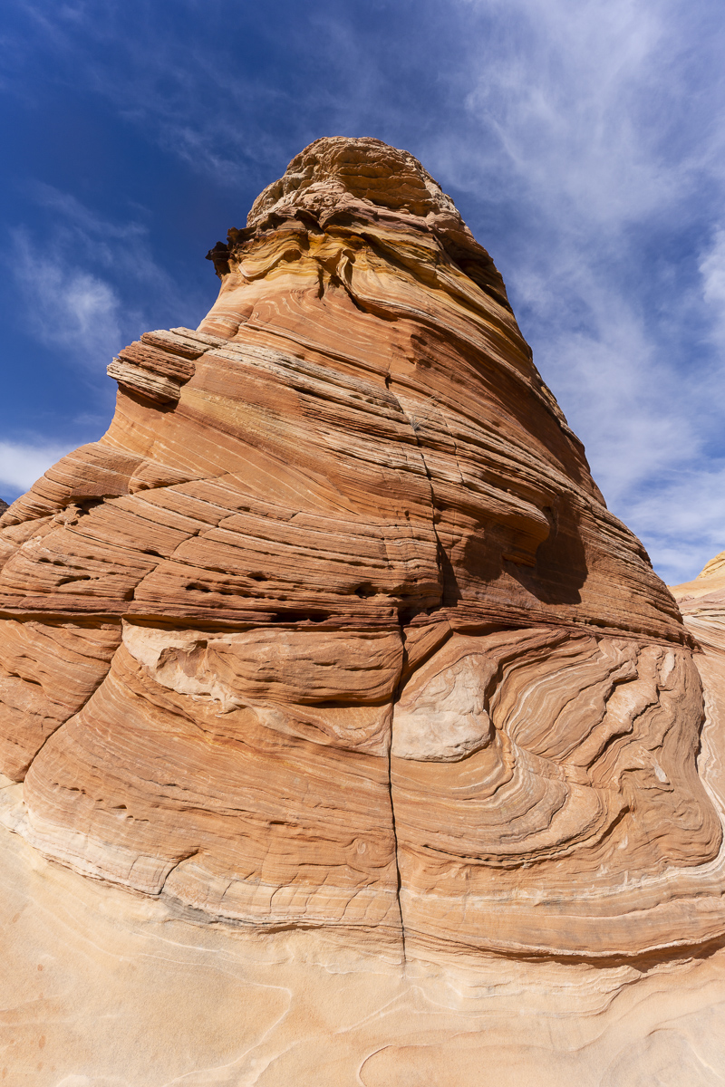
The hike to the Wave is fairly straightforward despite having no marked trail for much of it. The hike starts at the Wire Pass trailhead off of House Rock Valley Road. The trail follows the wash for the first half mile and then proceeds up a sandy embankment (marked by a sign to the right stating you are entering the permit area). As you descend back down and cross another small wash, the fun begins. You have to aim for a low saddle (about 11 o’clock to your left) in a series of sandstone formations that cuts across the path in front of you. The saddle is a fairly short climb and takes only about 5 minutes to ascend. From the saddle, you can then pick out the route fairly easily. You can see a signpost at a 45 degree angle to your right. Eventually, you are aiming for the right side of the Twin Buttes that can be seen off to your right. Once you reach the Twin Buttes, the crack in the wall (a dark vertical shadow on the mostly white Top Rock) becomes visible. The Wave is located below this crack. You simply keep your route straight at this crack. The last difficult obstacle occurs just before the entrance to the Wave. You must cross a sandy wash and then ascend a steep sand dune just below the entrance to the Wave. The entrance is through the little slot canyon of wavy sandstone. The hike is just over 3 miles long and takes under 1.5 hours each way. Be sure to aim for the left side of the right most set of buttes (amongst many) on the return. These are the Twin Buttes. A fence line can be seen descending the right side of the butte.
South Coyote Buttes Paw Hole
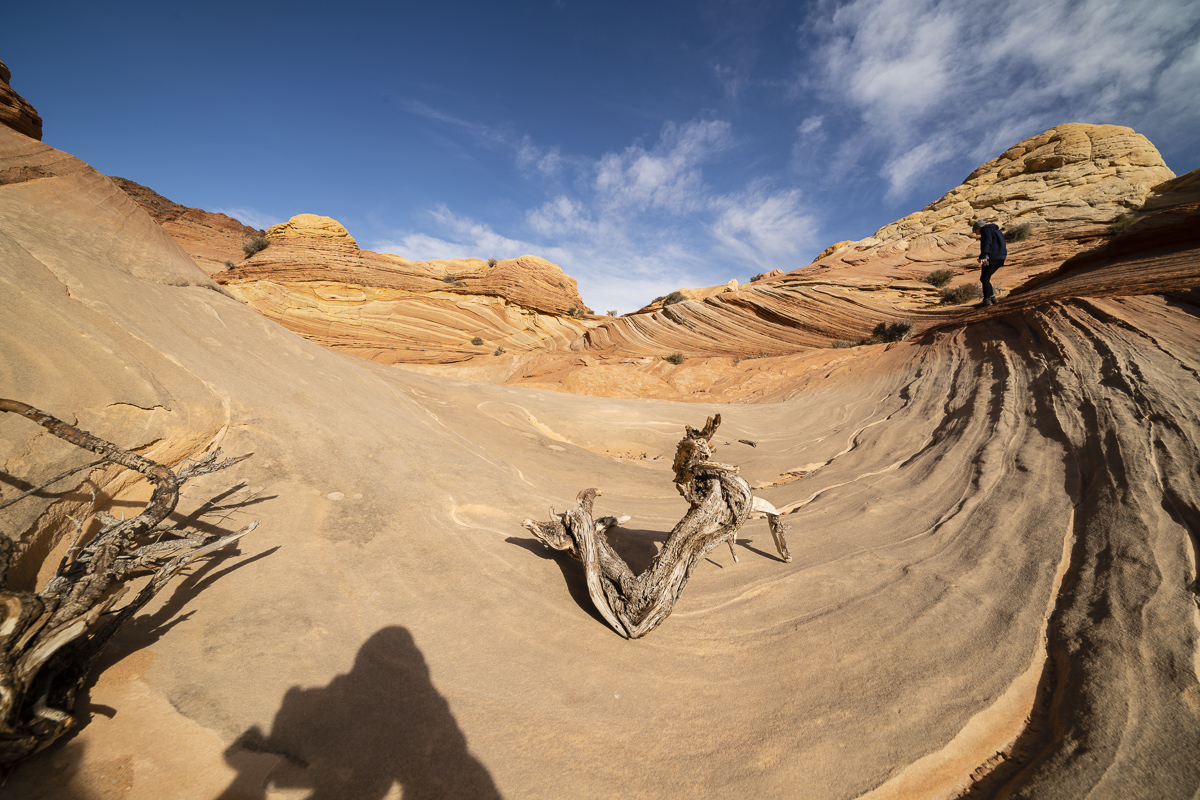
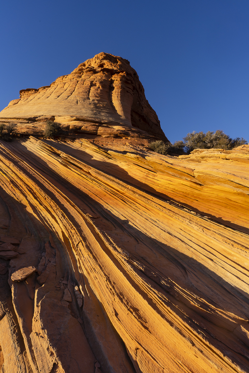
The South Coyote Buttes is a landscape worthy of exploring Coyote Buttes is subject to a permit and lottery system established by the BLM to prevent overuse in the area. In the winter, it issues permits for both North and South areas for the following three days (Saturday, Sunday, and Monday) on Fridays. I secured a permit for South Coyote Buttes for later that day after the North/Wave lottery had ended. This wouldn’t leave me enough time to explore both Paw Hole and Cottonwood Cove so I opted to explore just the Paw Hole region. Paw Hole doesn’t have the color variety of Cottonwood Cove, but it does have some bizarre rock formations that make for great photo compositions.
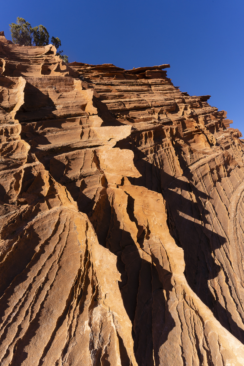
I parked my car along the entrance road and started hiking around 1 pm. I explored the buttes to the right of the entrance to begin with. There is no discernible path through the tall buttes but I found a low point slightly to the right of the fence line and climbed past the initial set of buttes. Back behind this area is a cool little canyon with a mini wave to it. I continued uphill to the north. The landscape was mostly uninteresting for the next 1/2 mile or so, however. I then came upon an area that featured some buttes with crazy fins on the side and a large alcove. This was fun to explore and I marked a point to return to near sunset. Next, I hiked another 1/2 mile or so to a region that had some cool box work. Finally, I stopped at the summit of the Paw Hole region. This area has a feature I like to call batwing arch. It has box work or lacy rock with a hole in the middle giving it the appearance of a batwing.
The Hike
The Paw Hole entrance is located 14 miles down House Rock Valley Road and then up a jeep road to the left another 2.5 miles. There are several areas to park off the road if you get concerned by the sandy conditions. Once at the trailhead, you have two choices. You can either skirt the buttes to the left and then finally ascend once you reach the buttes with the pronounced fins on them or you can stay to the right and pick a trail through them. Don’t go perfectly straight from the trailhead. There is no obvious route through the buttes form here. If you choose the right most path, there is a small wave and canyon behind the big butte just to your left once you’ve crossed over the first set of buttes. Then, you keep steeply climbing the next couple set of buttes. I particularly like the box work that forms a couple of Xs on the sides of the next series of buttes. At around the 1 mile mark, you can see an alcove off to the left and the previously mentioned buttes with pronounced fins. Stay to the right and climb through the brush (there is a steep drop to your left). At mile 2, you will reach a series of buttes with amazing box work. The last of these contains batwing arch. From this point, you can continue on to Cottonwood Cove. Go straight for about 1/2 mile and then veer right to miss the canyon in front of you. At around 3.5 miles, you will arrive at the first of the multicolored features in Cottonwood Cove. Explore at your leisure. Retrace your steps to the trailhead at Pawhole or arrange a guide to pick you up at the Cottonwood entrance.
