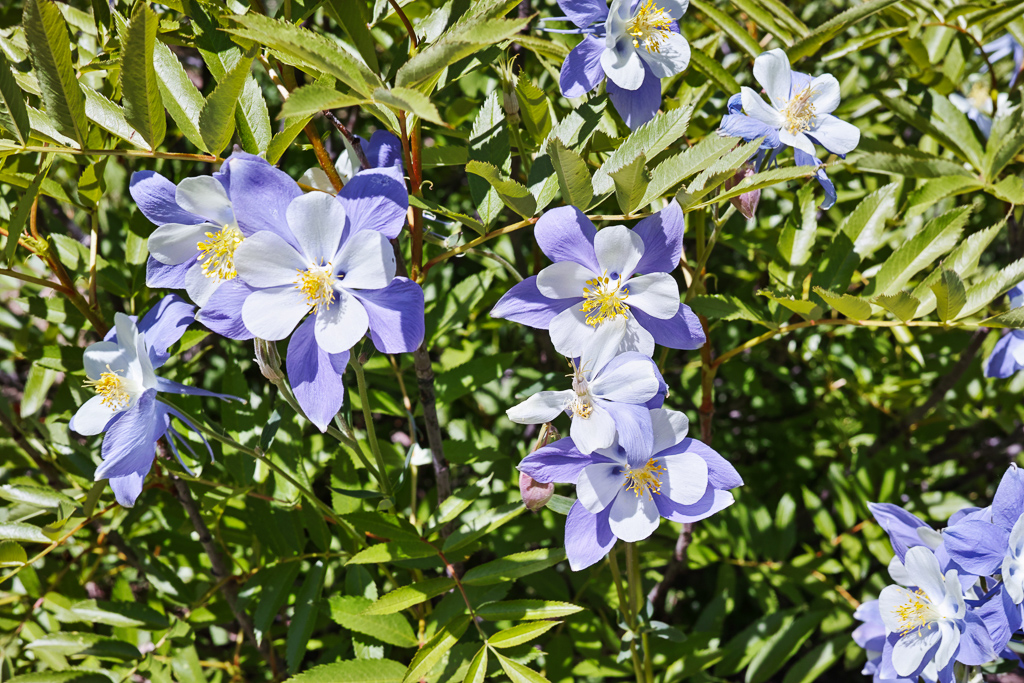
I backpacked the Gilpin Lake/Gold Creek Lake loop in the Mt. Zirkel Wilderness otherwise known as the Zirkel Circle over the 4th of July. The trail is strenuous at times but provides some wonderful views and beautiful scenery for most of the hike. The NFS lists the distance for the loop at 11 miles but it is at least 2 miles longer than advertised so be prepared if you hike the entire loop. I chose to hike the loop from Gilpin Lake to Gold Creek. The trail up to Gilpin Lake is generally steeper but converts the long uphill section from the trail junction if you go the other way to a downhill section. I started out from the Slavonia trailhead about 20 miles north of Steamboat Springs. I reached a trail register and the trail junction with the Gold Creek trail after .1 mile. I signed in and headed left up to Gilpin Lake. The first part of trail rambles through aspen forest. A few large clumps of paintbrush grew close to the trail. My next milepost was the wilderness boundary at 1.6 miles. The trail follows a creek through open meadows and a wide glacial valley at this point. Hundreds of columbine were blooming near the trail at around the 2.5-3 mile mark. The trail climbs steadily but not too steeply thorough most of this stretch. Finally, I reached a stream crossing at around mile 5. From here, you been a steep ascent to Gilpin Lake over the next .75 mile. There is really no good camping spots from the water crossing to the lake due to the steepness of the terrain. Finally, I reached Gilpin Lake after 4 hours of hiking.
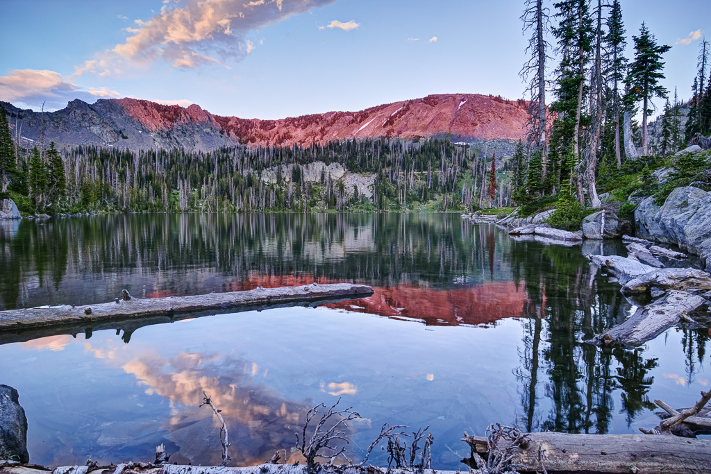
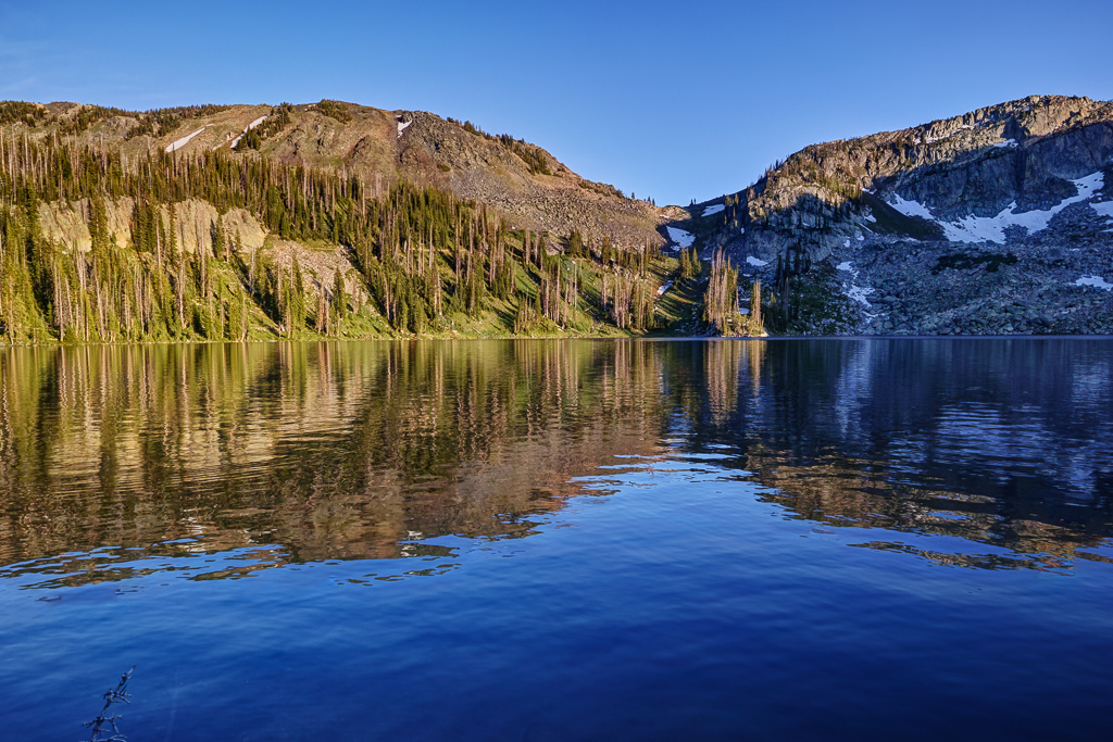
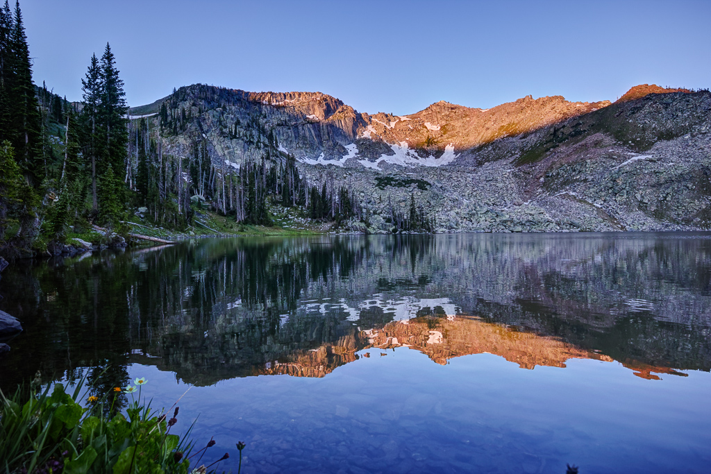
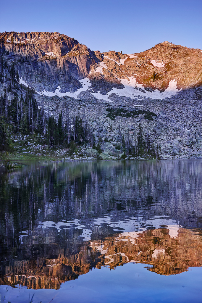
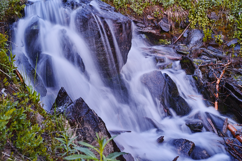
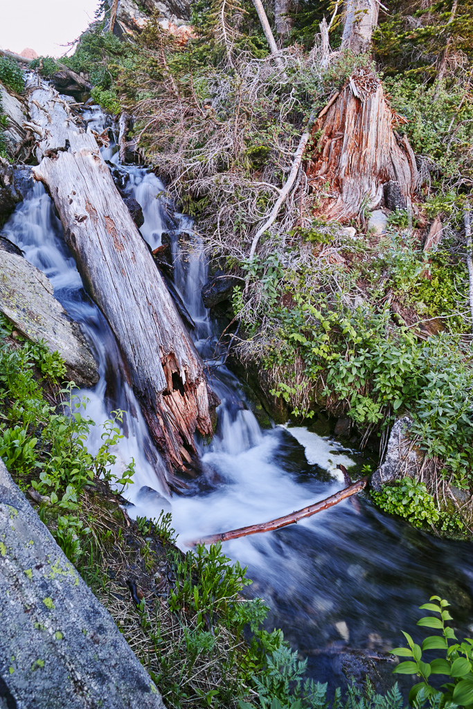
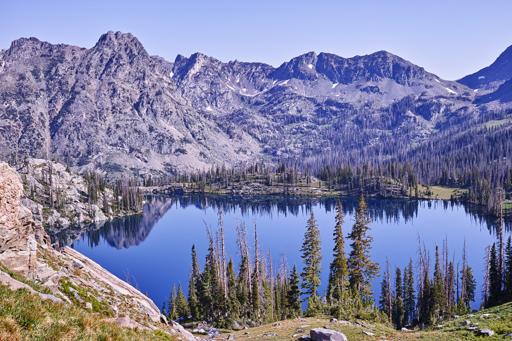
Gilpin Lake is one of the jewels of the Rocky Mountains. It surrounded almost entirely by mountains. The lake is relatively shallow which made for great reflection shots at sunset and sunrise. I wandered around the near shore of the lake and found a primitive trail that led down the back side of the lake past the outlet. Some beautiful cascades can be found here. I set up my tripod on the far side of the lake and waited for sunset. I was not disappointed. The mountains above the lake glowed red in the setting sun, aided by smoke in the air from forest fires burning in southern Colorado. I also cast out a fishing line and snagged a couple of small brook trout while I took int he view. In the morning, I walked along the east side of the lake and watched the sun light up the peaks to the south. What an amazing scene.
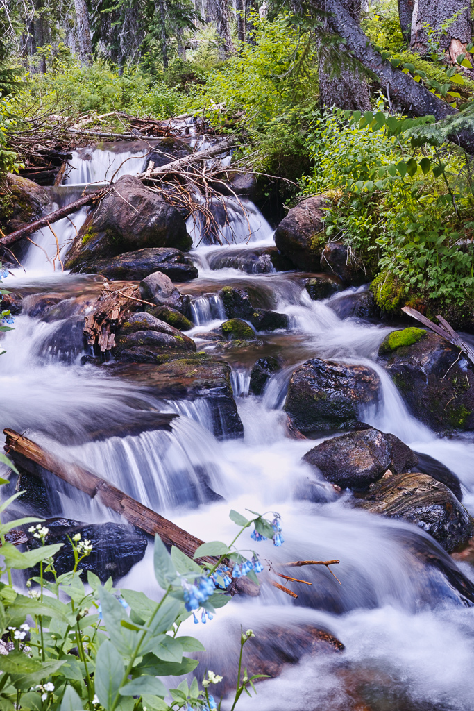
Around 8:30, I headed up to the saddle above Gilpin Lake. It its a steep, half-mile ascent to the saddle but not nearly as bad as some passes in Colorado can be. The view from the top is spectacular. Big Agnes mountain looms large behind the lake when viewed from this direction. I then headed down the pass toward the Gold Creek trail. This is a long, steep descent as previously noted. After about a mile, I came to the junction with the Gold Creek trail. The trail then follows the creek down valley to the right. Gold Creek is a narrower, tree-filled valley. The shade was welcome given the heat of the day beginning to build. I came to Gold Creek Lake after 2 miles. It is a pretty, forested lake. It has excellent fishing for brookies, BTW. The long slog bak to the trailhead now begins. The trail descends along Gold Creek and passes a couple of large waterfalls. There are also a couple of difficult stream crossings along the way. There are logs but if you don;t like the tight rope act with a pack on, wading might be the better option. On one of them, I ended up fighting a fir tree near the start. After a seemingly endless 4 mile hike, I reached the trailhead, exhausted.
Directions to the trailhead.
Drive 18 miles north of Steamboat on RD 129. Then turn right onto Seedhouse Road. Drive 12 miles along the half paved, half dirt road to the end to reach the Slavonia trailhead. Trail 1161 leads to Gilpin Lake. Although many people hike the trail, few backpack it. Solitude can be found while camping. One word of caution. Camping is restricted 1/4 from the lake. You’ll have to head out a ways from the trail to find camping spots.
