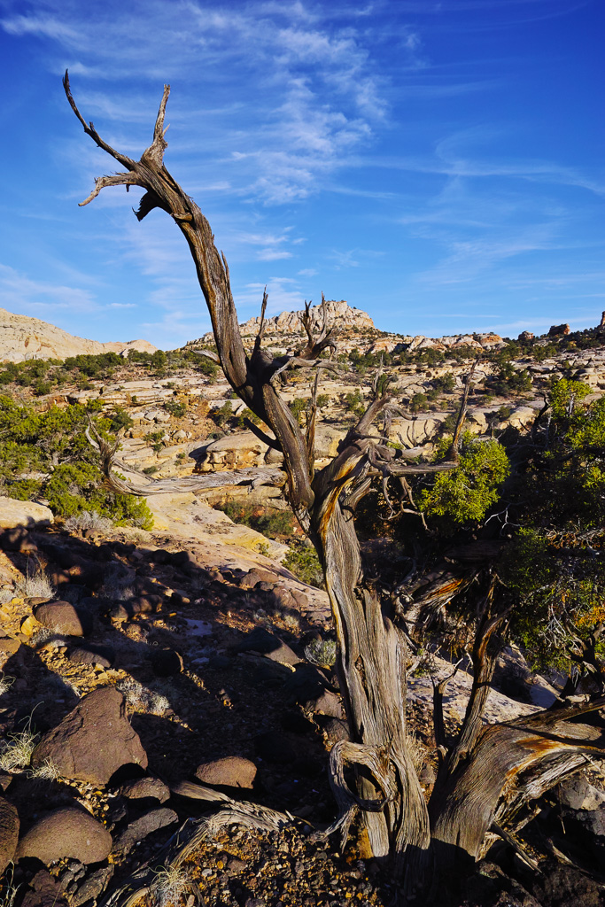
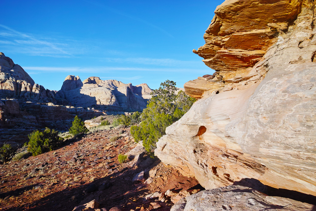
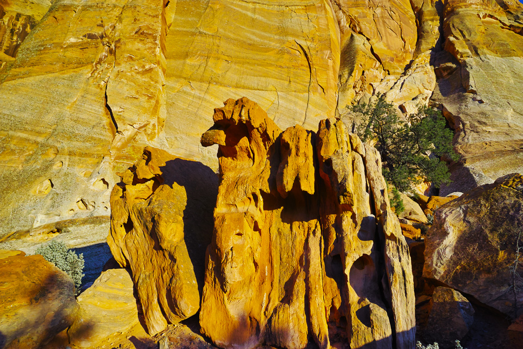
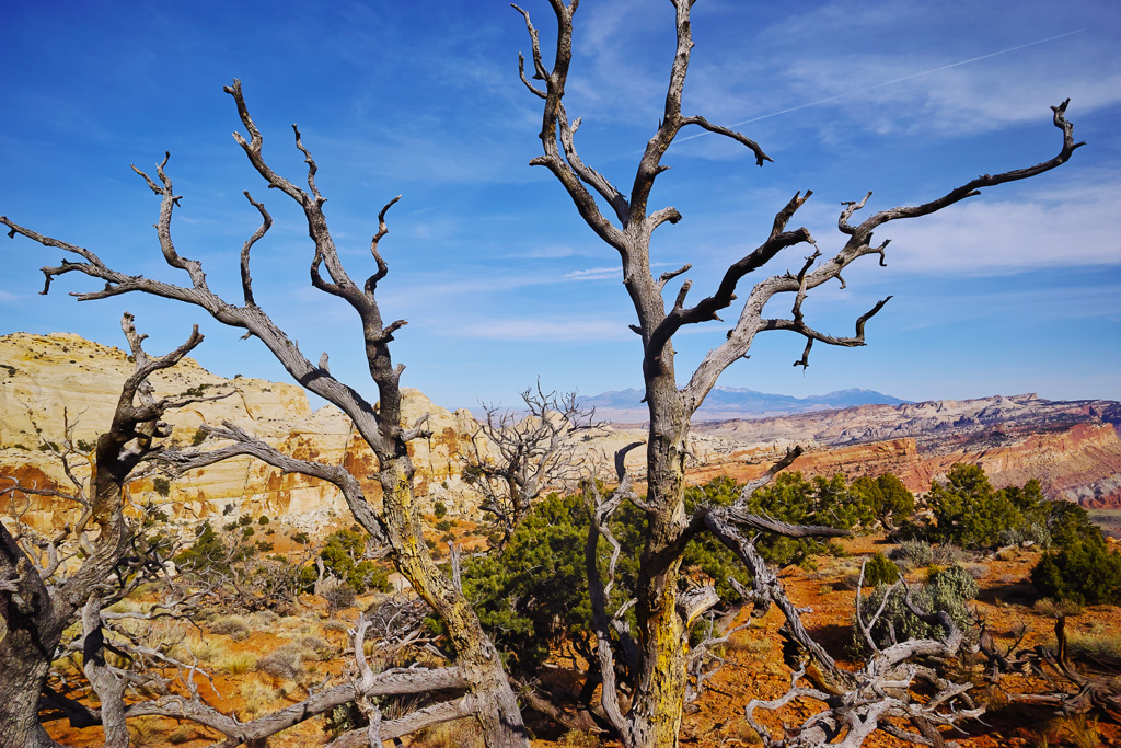
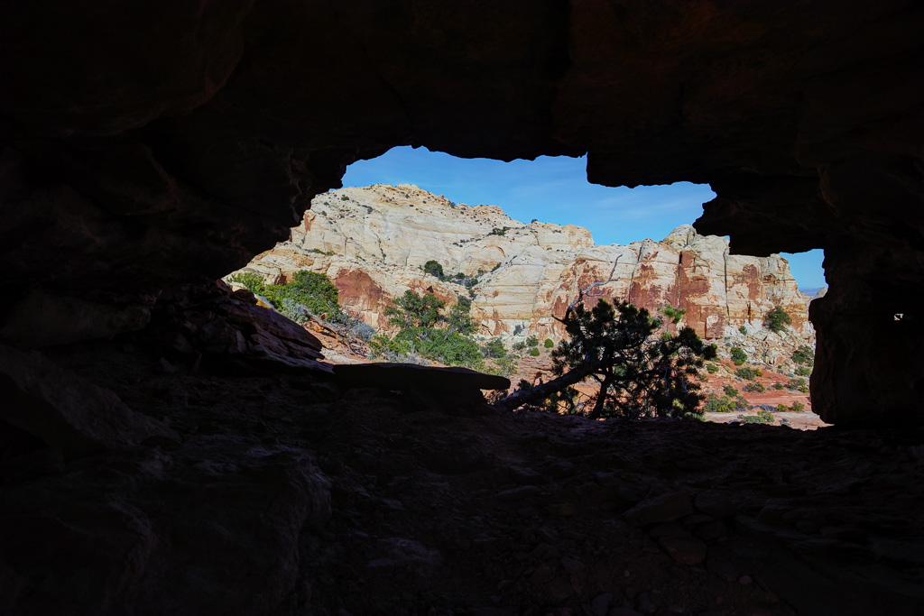
I made a short trip to Capitol Reef National Park this past weekend. The cottonwoods were just leafing out so it was a great time to be there. I explored some new places and went to an old standby. Overall, it was a fun trip but I wish the weather had been better so I could have explored Escalante National Monument. Coyote Gulch will have to wait.
Sheets Canyon
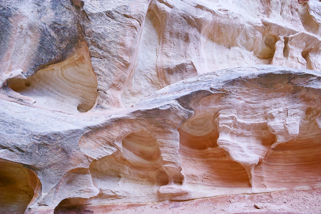
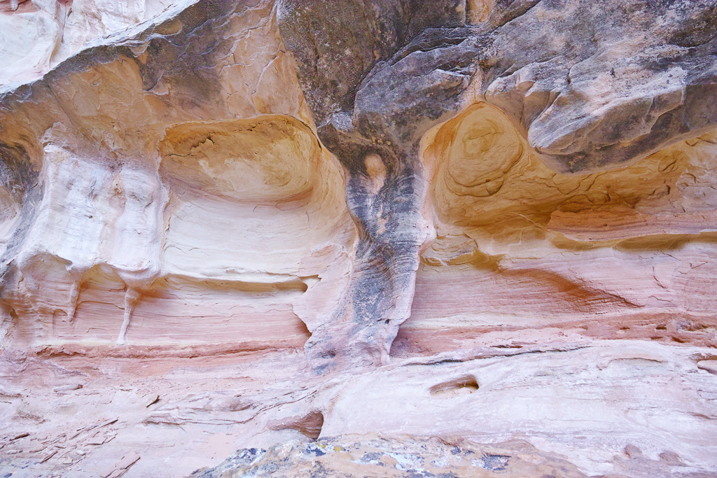
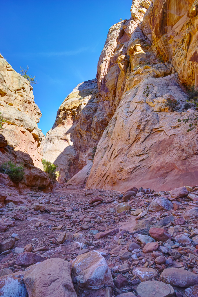
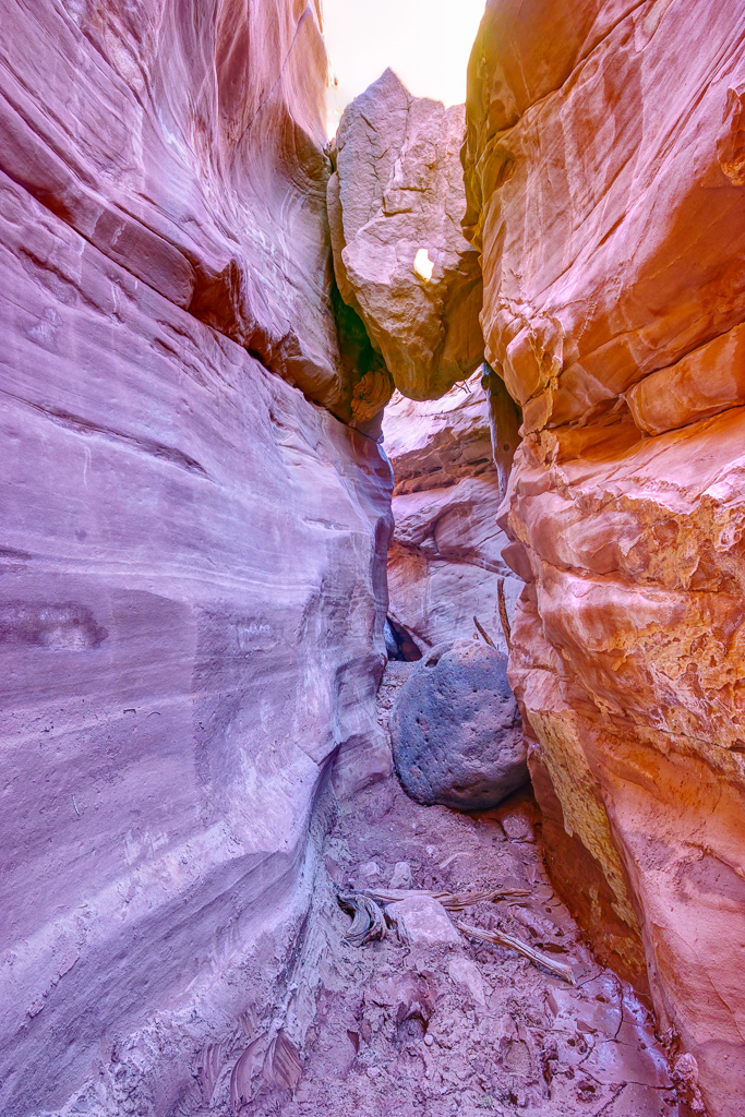
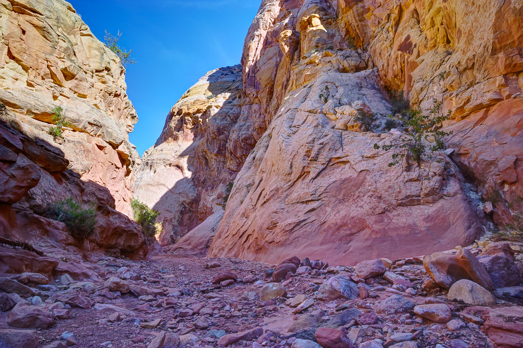
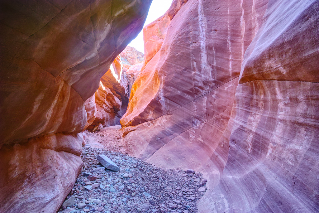
This is a short hike to a pretty slot canyon on the east side of the park. Sheets Canyon is located off the Notom Road. The trailhead is located just before the pavement ends, about 12 miles down the road. The hike wanders through the Sheets Canyon wash for about a mile before the walls narrow. There are some very interesting rock formation in the canyon. The narrows stretches for about 1/2 mile and then the canyon widens. The walls are quite high in this area so it is still an interesting through this part of the canyon. There are a few chokcsotnes you have to scramble over in the narrows section but nothing too difficult.
Cohab Canyon
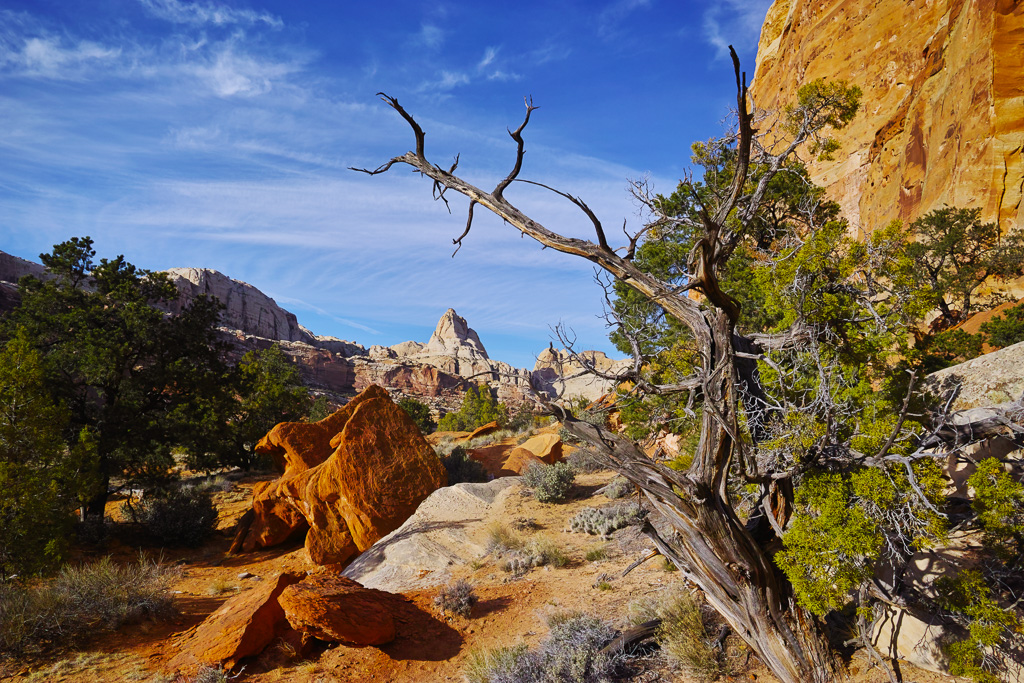
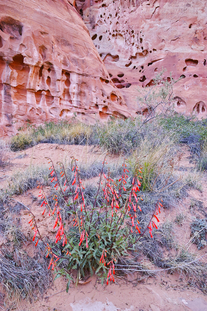
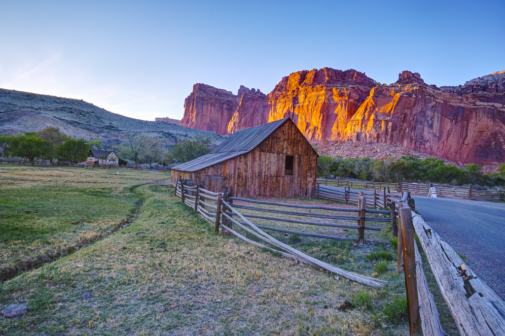
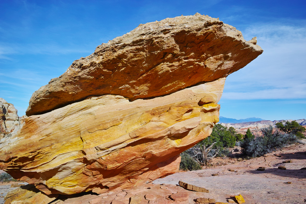
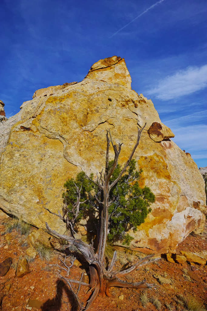
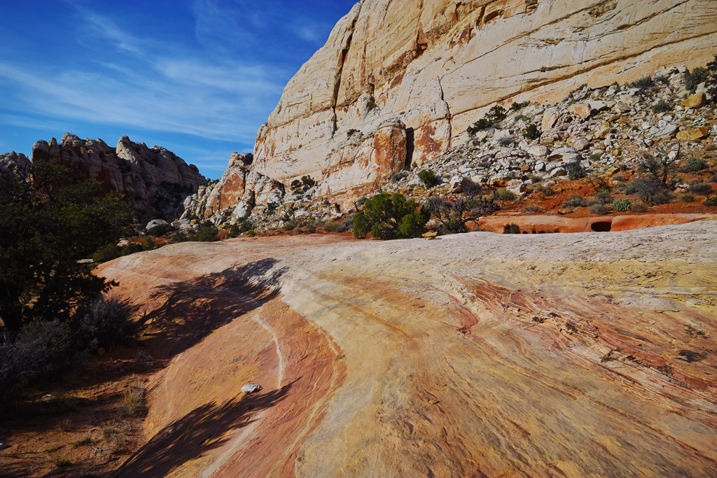
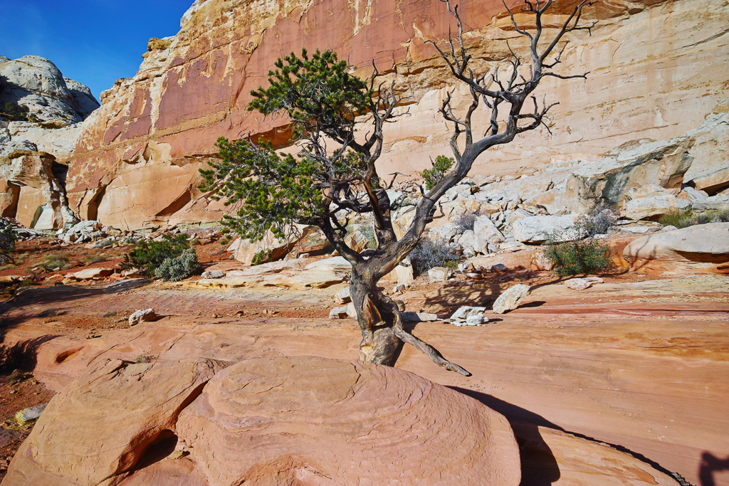
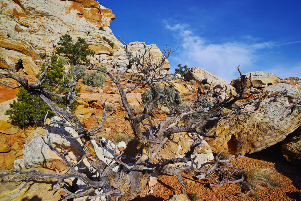
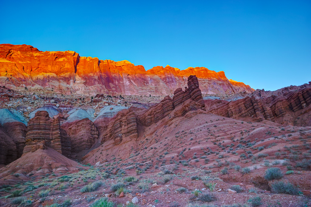
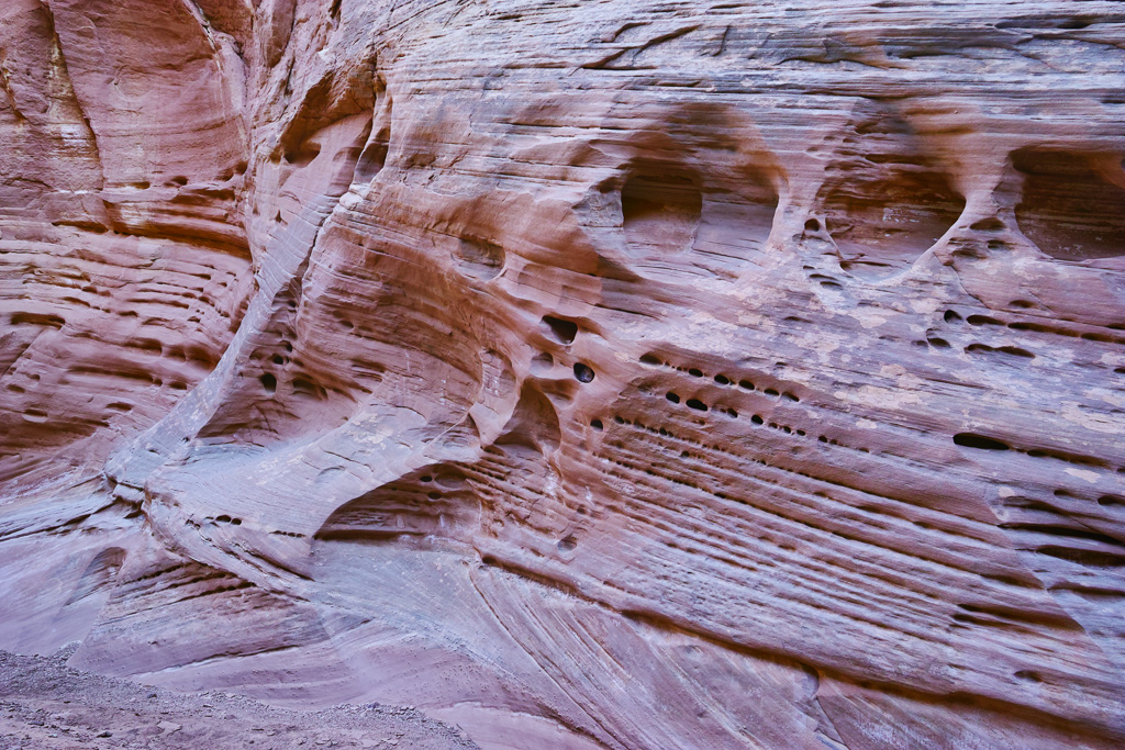
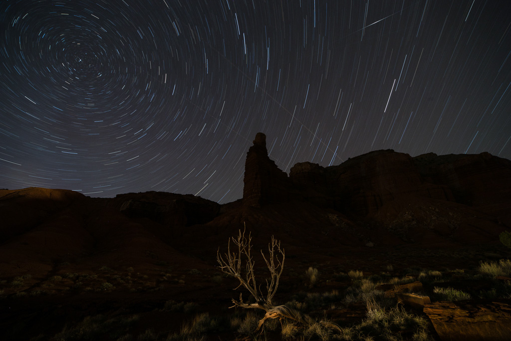
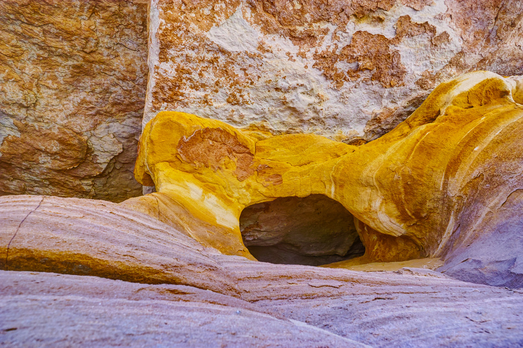
The trail to Cohab Canyon is located near the Fruita barn just before the main campground in Capitol Reef. It climbs steeply up a series of switchbacks before leveling off at the entrance to Cohab Canyon. Just before the entrance there are some interesting rock formations and trees that make great photography subjects. The canyon itself, has pink or orange walls, and is quite pretty. The walls are pockmarked with holes, alcoves, and other cool features. In about 1/2 mile, the trail veers to the left and ascends to a view of Fruita and the campground below. The one way total is just under 2 miles.
Navajo Knobs Trail
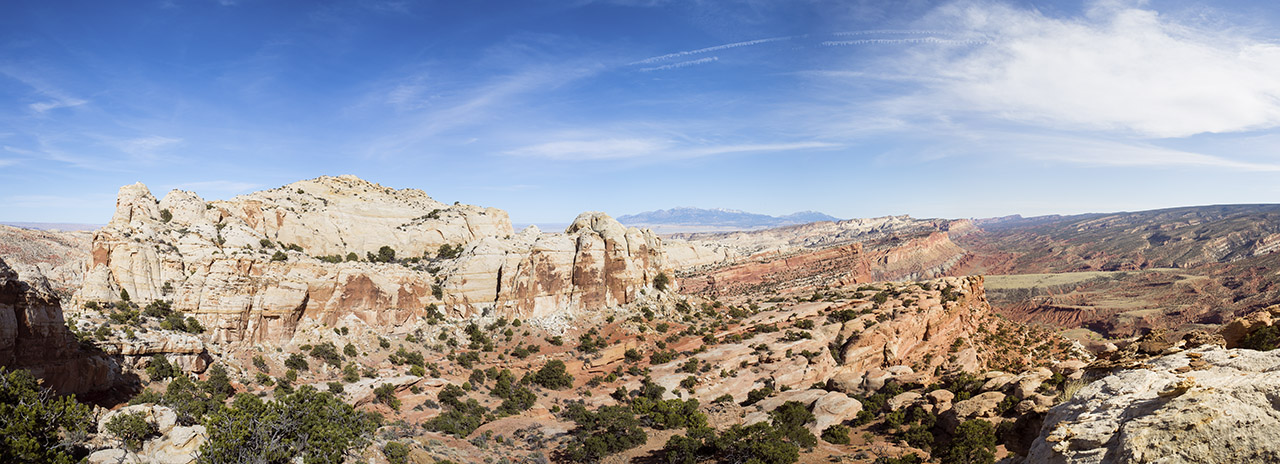
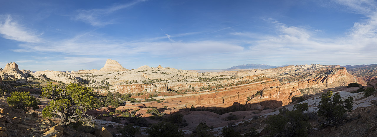
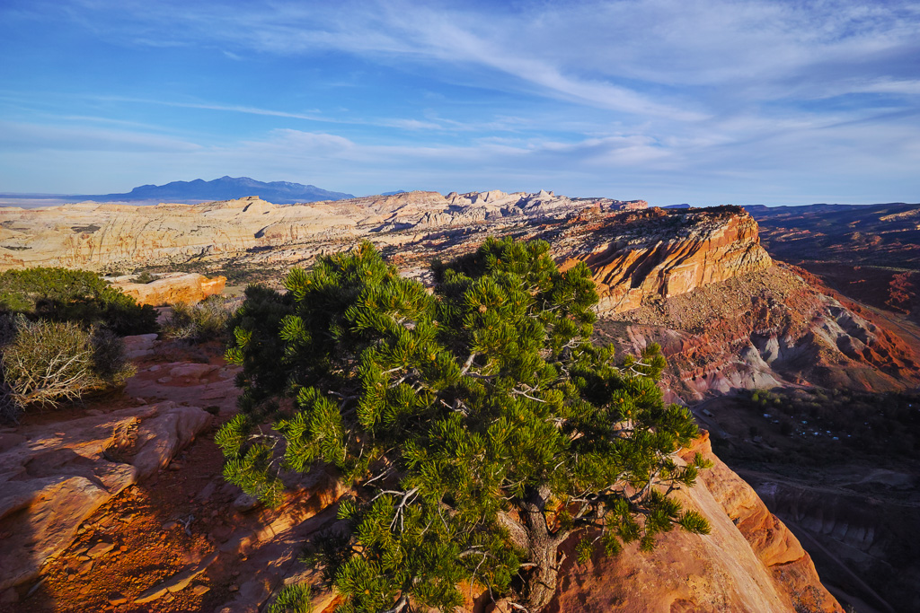
The Navajo Knobs trail leads to a panoramic overlook after a hard 4.7 mile hike. Luckily, the views are pretty spectacular most of the way so making the top isn’t a requirement to get a great view. The trail starts about a mile from the visitor’s center along the main park road. It climbs steeply and intersects with the Hickman Bridge trail in about half a mile. Veer right at the junction and continue to climb up to a great view of Pectol’s Pyramid across the valley. At mile 2.5, the trail comes to a view of the Fremont River and you are looking back across at the visitor’s center. From here, the trail descends for about 3/4 of a mile which of course leaves a steep ascent back up a long ramp. At this point, the views are amazing. One last side canyon has to be routed around before reaching the top. This is a steep and long hike but the effort is worth it. Views can be had in any direction from here.
Sulfur Creek
Sulfur Creek features a neat waterfall after a short 1 mile hike. Take the trail to the right of the visitor’s center and veer around to the back of it. When you come to the creek, head toward a power line straight across the creek. You can also head left down stream but the walk is much longer and wetter this way. After climbing a short rise you will come to a lime kiln on the right and then the trail cuts back down to Sulfur Creek. The waterfall is about .75 of a mile from the visitor’s center. It isn’t particularly large but the scene is pretty with the read rock of Sulfur Canyon framing the shot.
