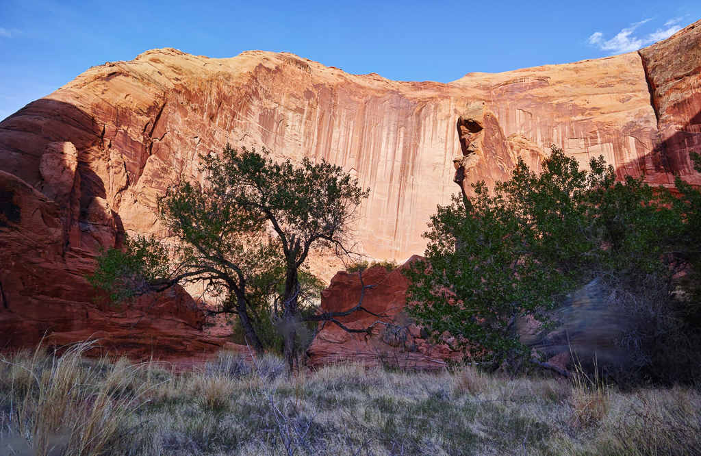
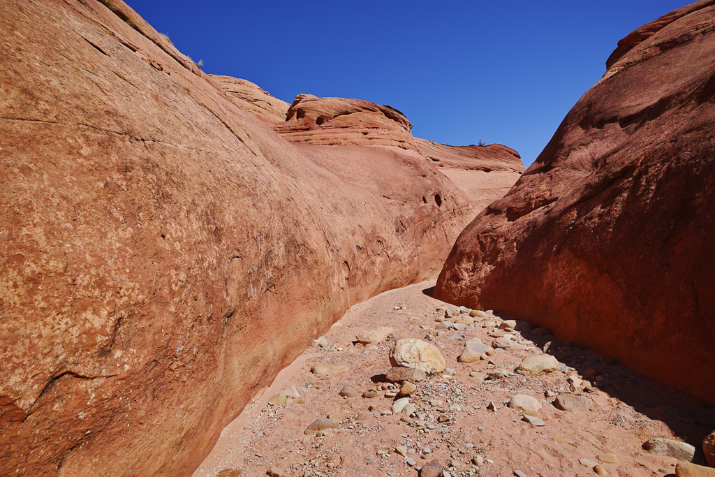
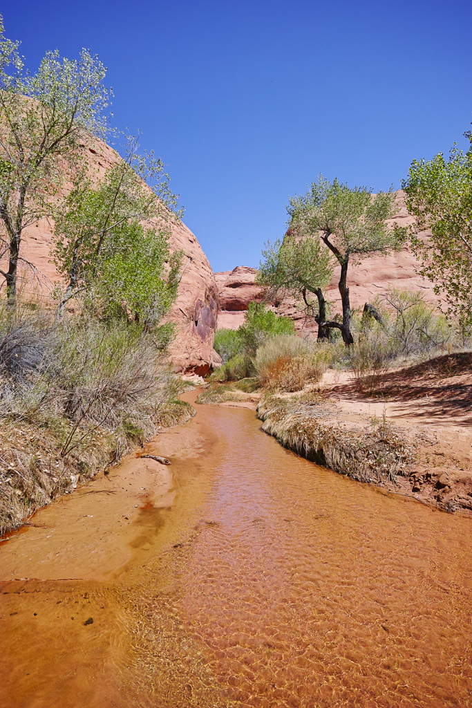
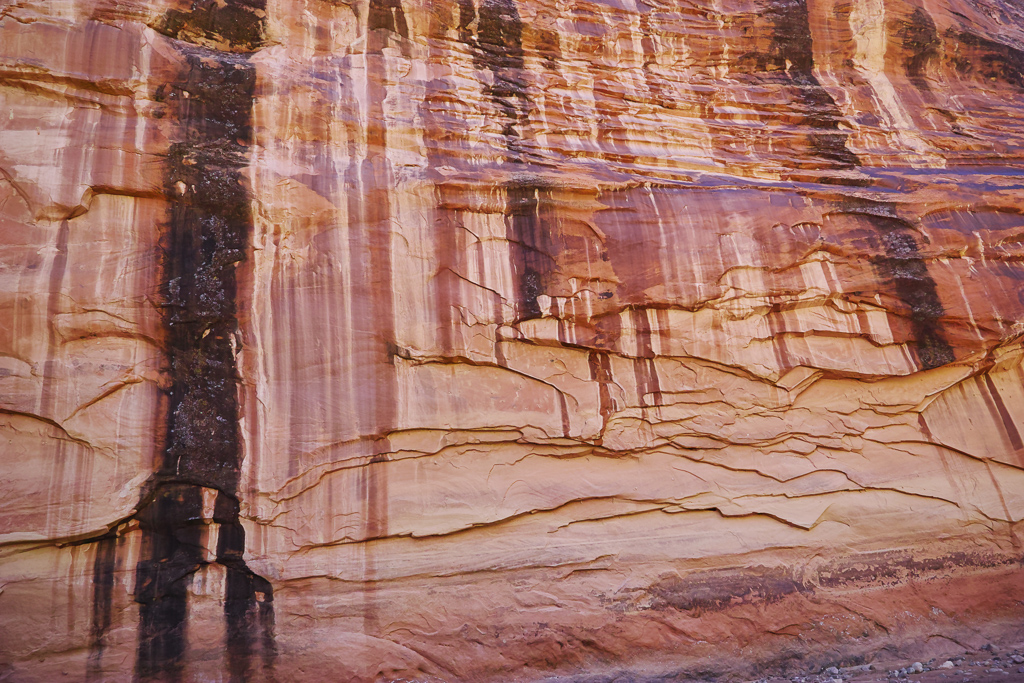
I backpacked into Coyote Gulch in the Grand Staircase-Escalante National Monument in southern Utah this past week. I had been wanting to do this trip for the past ten years or so. I failed once trying to squeeze my pack through the crack-in-the-wall route so this time I simply hiked in through Hurricane Wash. I walked 25 miles in two days but it was worth the effort. Coyote Gulch is an amazing place. It features several waterfalls, a large arch, and towering canyon walls. It is also a very peaceful walk through a verdant canyon in the middle of a desert. Below is the trail description.
Hurricane Wash
The guidebooks warn that this hike is rather dull to start and I think that is a little unfair. While the first couple miles are rather unremarkable, parts of Hurricane Wash are actually pretty scenic. The wash itself is 5.5 miles long to the confluence with Coyote Gulch. The wash is sandy for the first four miles. Luckily, an overland trail avoids the wash for the first couple of miles, meaning you’re walking in sand for only about 2 miles of the trip. The canyon walls pop up after about two miles and this is where the hike starts to get interesting. The trail passes the Glen Canyon boundary at mile 3.0. Shortly thereafter, the canyon enters a short narrows section which is quite pretty. At mile 4.0, the landscape changes. Tamarisk and reeds dominate and a trickle of water becomes evident. You pass by a large rock in thee stream bed that looks like it has been blasted from the hillside and then a fenced gate at around mile 5.0. Finally, you come to the confluence. This area features a much wider stream and and several canyon faces greet you downstream to the right. On the way back, I found out how the wash got its name. The wind rips through it when a front is approaching.
Coyote Gulch
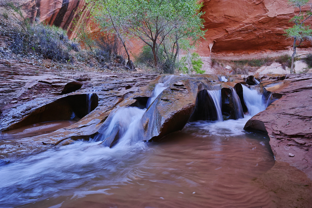
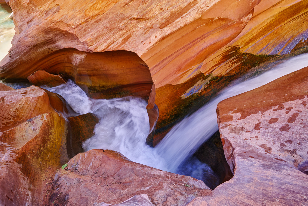
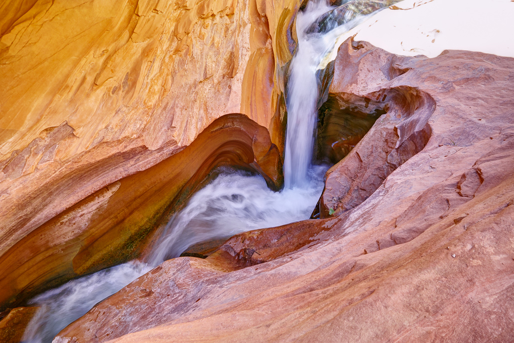
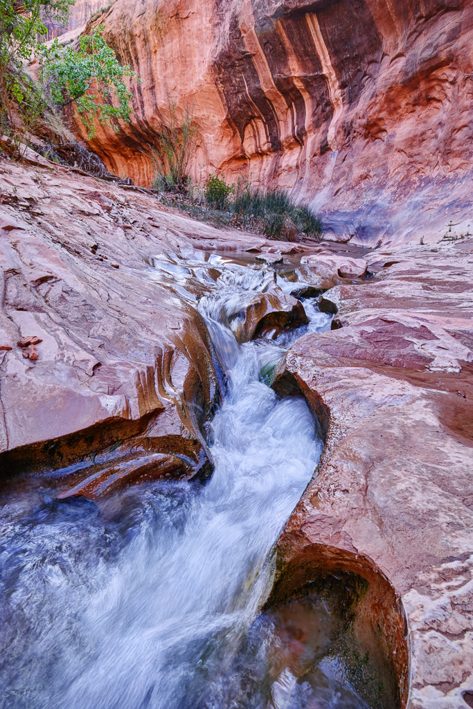
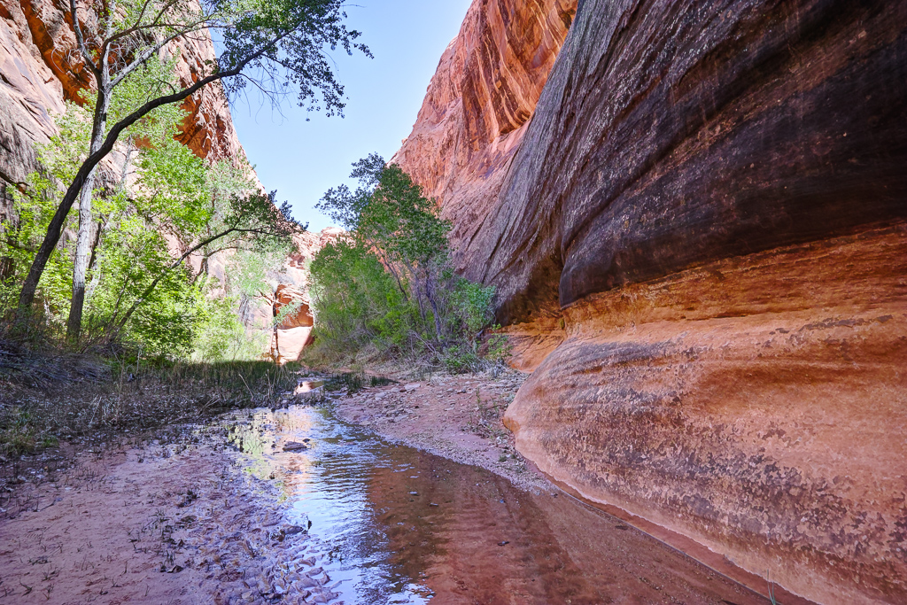
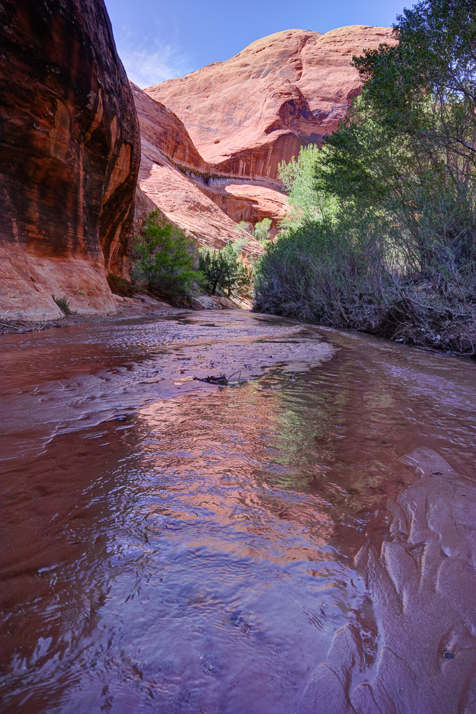
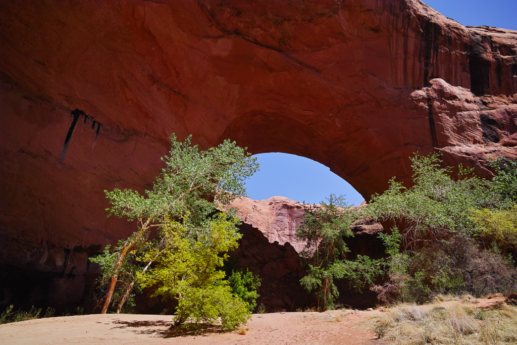
The wading in the stream now begins in earnest. The trail criss-crosses the stream multiple times throughout your journey through the gulch. You’ll need wading shoes unless you want to get your boots wet. I opted to hike in tennis shoes and neoprene socks. You pass a couple of very large rock alcoves which have a nice orange color to them. At around mile 7.0, you come to the first main feature of Coyote Gulch–Jacob Hamblin Arch. The Arch towers above you to the left. The arch is a good photo around two hours before sunset or at an hour after sunrise on the reverse side (but alas I went through it around 1pm). There are multiple campsites on either side of the arch and one directly below it. This is a good spot for a star shot, but I didn’t bring my Canon on the trip due to weight. I continued downstream from here and soon came to the Swiss Cheese falls. This is an area in the stream with some great fluted rock that the stream flows through. I camped here under another large alcove. Watch for falling rock here. The rubble pile is impressive!
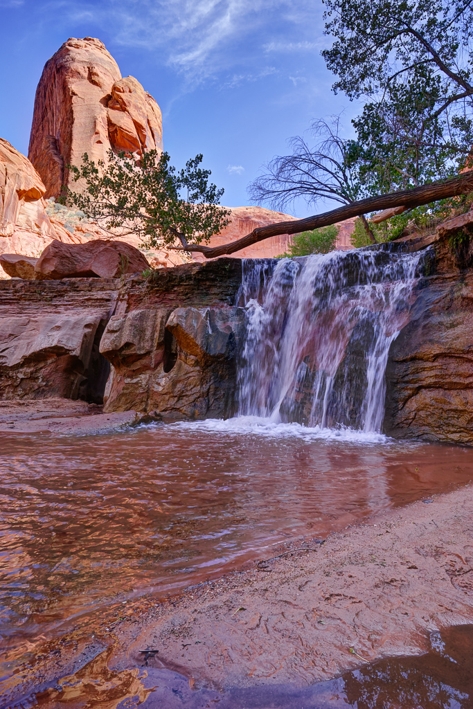
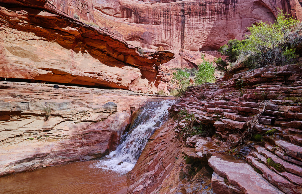
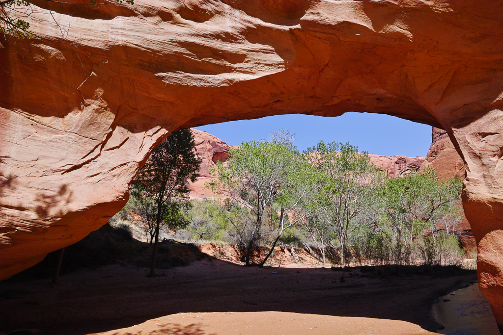
The next main feature in the canyon is Coyote Natural Bridge another mile or so downstream. This is another large arch (bridge since it is over the stream). This is more of a midday shot since the light doesn’t reach down into this part of the canyon except for that time. At this point, my recommendation is to turn around and go back to camp unless you are up for a very long walk. If I had to do it over agin, I would have stopped here and turned around and done the waterfall section as a day hike from Crack in the Wall. Why? To be blunt, the next section of canyon is very dull and a long walk through reeds and tamarisk, and reeds and tamarisk, and reeds and tamarisk. There is nothing to see for 2.0 miles. Finally, you come to the first of the waterfalls past Cliff Arch. To reach this place requires hiking around a boulder field to the left and then crossing the stream and scrambling above the boulder field to the right. It is a pretty waterfall to be sure. Some trees frame it and the canyon provides an amazing backdrop. The trail then continues for about .75 miles to the next falls. To reach this one, you need to descend the boulders to the right. I then walked to another waterfall a short distance from this one. I stopped here. The route down below this falls looked difficult and I had hiked almost 12 miles to this point and had a 4.0 mile walk back to camp. I will have to do the rest of the 2.0 miles of the gulch next time.
Driving Directions
To reach Hurricane Wash, take the Hole in the Rock Road 5.0 miles east of Escalante or 18.0 miles south of Boulder. Drive 33 miles down the worst washboarded road you’ve ever seen until coming to the parking area for Hurricane Wash. Follow the trail down the wash and have fun! You don’t need 4×4 for the road, but a tougher vehicle may be nice for the bumps.
